De Knipe | |
|---|---|
Village | |
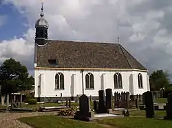 De Knipe church | |
 Flag | |
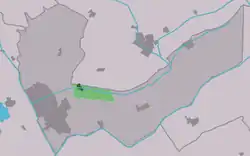 Location in the Heerenveen municipality | |
 De Knipe Location in the Netherlands 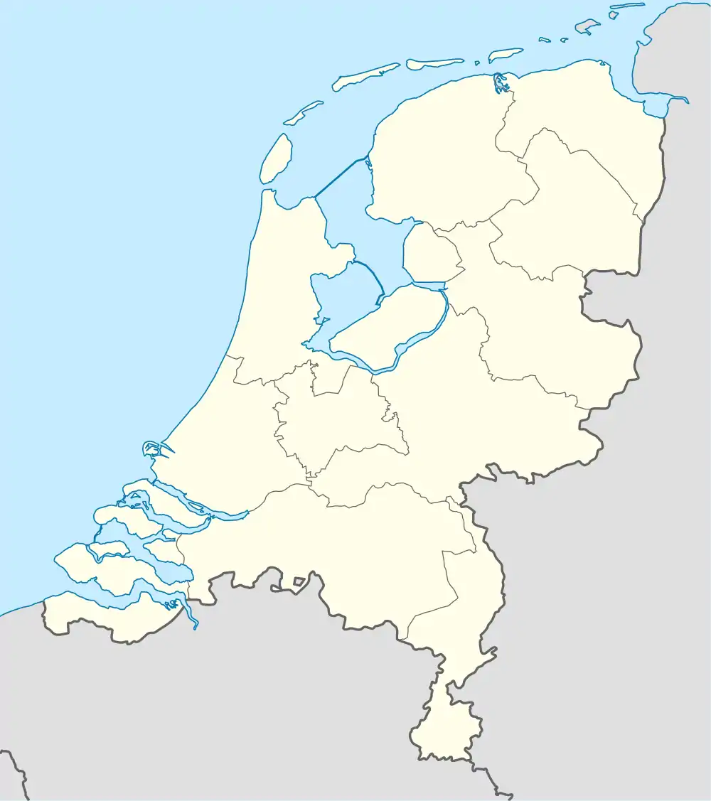 De Knipe De Knipe (Netherlands) | |
| Coordinates: 52°58′7″N 5°58′16″E / 52.96861°N 5.97111°E | |
| Country | |
| Province | |
| Municipality | |
| Area | |
| • Total | 5.03 km2 (1.94 sq mi) |
| Elevation | 0.6 m (2.0 ft) |
| Population (2021)[1] | |
| • Total | 1,415 |
| • Density | 280/km2 (730/sq mi) |
| Postal code | 8456[1] |
| Dialing code | 0513 |
De Knipe (archaic: Dutch: De Knijpe) is a village in the municipality (Dutch: Gemeente) Heerenveen in the province of Friesland, the Netherlands. It had a population of around 1,455 in January 2017.[3]
History
The village was first mentioned in 1622 as Nieubrongerga1. De Knipe means artificial narrowing of a stream, and refers to the sluice in the Schoterlandse Compagnonsvaart. There used to be two settlements: Boven-Knijpe which was also known as Nieuw Katlijk and Beneden Knijpe also Nieuw Brongerga. In 1970, both settlements were joint as De Knipe.[4] The Protestant Church dates from 1661 and is plastered white, and therefore informally called White Church. The Mennonite church dates from 1751. In 1840, Boven-Knijpe was home to 571 people and Beneden-Knijpe had a population of 643 people.[5]
Gallery
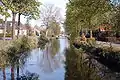 Canal view
 Canal view
 Mennonite church
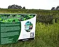 Hemp harvest
References
- 1 2 3 "Kerncijfers wijken en buurten 2021". Central Bureau of Statistics. Retrieved 30 March 2022.
- ↑ "Postcodetool for 8456AA". Actueel Hoogtebestand Nederland (in Dutch). Het Waterschapshuis. Retrieved 30 March 2022.
- ↑ Kerncijfers wijken en buurten 2017 - CBS Statline
- ↑ "De Knipe - (geografische naam)". Etymologiebank (in Dutch). Retrieved 30 March 2022.
- ↑ "De Knipe". Plaatsengids (in Dutch). Retrieved 30 March 2022.
External links
![]() Media related to De Knipe at Wikimedia Commons
Media related to De Knipe at Wikimedia Commons