Daudpur | |
|---|---|
Town | |
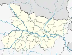 Daudpur Location of Daudpur Bihar, India | |
| Coordinates: 25°54′21″N 84°35′38″E / 25.905919°N 84.593987°E | |
| Country | |
| State | Bihar |
| District | Saran |
| Legislative Constituency | 114, Manjhi |
| Parliamentary constituency | 19, Maharajganj |
| Elevation | 60 m (200 ft) |
| Time zone | UTC+5:30 (IST) |
| Pincode(s) | 841205 |
| Area code(s) | +91-6155 |
Daudpur is a market town in the Saran district of Bihar located on NH-85 (Chapra Siwan Gopalganj Highway), 13 miles (21 km) West of Chhapra, connected by railways (station code DDP).[1]
References
- ↑ "Map of Daudpur Village in Manjhi Tehsil, Saran, Bihar". www.mapsofindia.com. Retrieved 26 April 2018.
This article is issued from Wikipedia. The text is licensed under Creative Commons - Attribution - Sharealike. Additional terms may apply for the media files.