Dargan, Maryland | |
|---|---|
 Dargan, Maryland  Dargan, Maryland | |
| Coordinates: 39°22′38″N 77°43′59″W / 39.37722°N 77.73306°W | |
| Country | United States |
| State | Maryland |
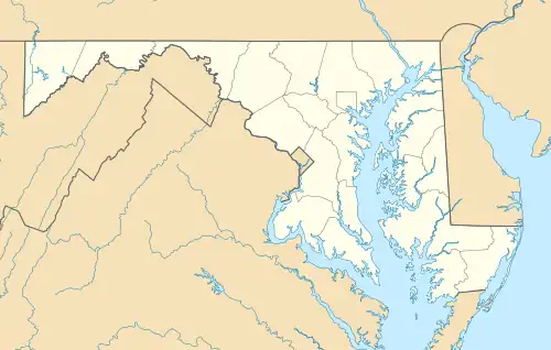
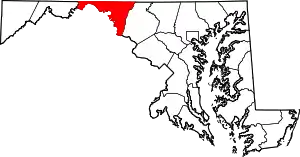
| County | Washington |
| Area | |
| • Total | 0.29 sq mi (0.76 km2) |
| • Land | 0.29 sq mi (0.76 km2) |
| • Water | 0.00 sq mi (0.00 km2) |
| Elevation | 541 ft (165 m) |
| Population (2020) | |
| • Total | 163 |
| • Density | 552.54/sq mi (213.19/km2) |
| Time zone | UTC-5 (Eastern (EST)) |
| • Summer (DST) | UTC-4 (EDT) |
| ZIP code | 21782[2] |
| Area code(s) | 240 & 301 |
| GNIS feature ID | 590065[3] |
Dargan is an unincorporated community and census-designated place in Washington County, Maryland, United States.[3] Its population was 165 as of the 2010 census.[4]
Geography
According to the U.S. Census Bureau, the community has an area of 0.295 square miles (0.76 km2), all land.[4]
Demographics
| Census | Pop. | Note | %± |
|---|---|---|---|
| 2020 | 163 | — | |
| U.S. Decennial Census[5] | |||
References
- ↑ "2020 U.S. Gazetteer Files". United States Census Bureau. Retrieved April 26, 2022.
- ↑ "Dargan MD ZIP Code". zipdatamaps.com. 2023. Retrieved April 18, 2023.
- 1 2 "Dargan". Geographic Names Information System. United States Geological Survey, United States Department of the Interior.
- 1 2 "2010 Census Gazetteer Files - Places: Maryland". U.S. Census Bureau. Retrieved February 12, 2017.
- ↑ "Census of Population and Housing". Census.gov. Retrieved June 4, 2016.
This article is issued from Wikipedia. The text is licensed under Creative Commons - Attribution - Sharealike. Additional terms may apply for the media files.