Daganbhuiyan | |
|---|---|
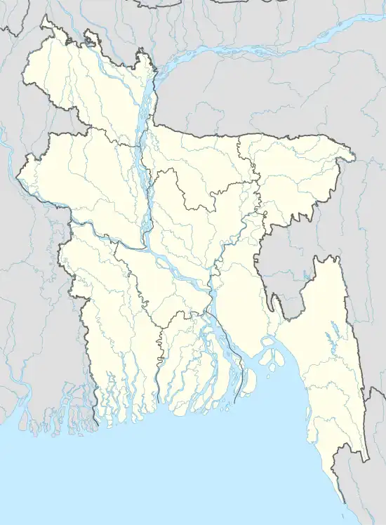 Daganbhuiyan Location of Daganbhuiyan town in Bangladesh | |
| Coordinates: 22°54′46″N 91°19′05″E / 22.912745°N 91.318096°E | |
| Country | |
| Division | Chittagong Division |
| District | Feni District |
| Upazila | Daganbhuiyan Upazila |
| Government | |
| • Type | Mayor–Council |
| • Body | Daganbhuiyan Municipality |
| Area | |
| • Total | 14.4 km2 (5.6 sq mi) |
| Population (2011 [1]) | |
| • Total | 33,574 [2] |
| Time zone | UTC+6 (Bangladesh Time) |
| National Dialing Code | +880 |
Daganbhuiyan (Bengali: দাগনভূঁইয়া) is a town and paurashava (municipality) in Feni district of Chittagong Division, Bangladesh. The town is the headquarter and urban centre of Daganbhuiyan Upazila.
References
- ↑ "population as of 2011". Retrieved 2019-08-30.
- ↑ "Daganbhuiyan town's area and population of 2011". Retrieved 2019-08-30.
This article is issued from Wikipedia. The text is licensed under Creative Commons - Attribution - Sharealike. Additional terms may apply for the media files.