| Daddry Shield | |
|---|---|
 Daddry Shield and surrounds | |
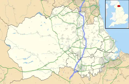 Daddry Shield Location within County Durham | |
| Population | 177 (2001 census) |
| OS grid reference | NY895378 |
| Civil parish | |
| Unitary authority | |
| Ceremonial county | |
| Region | |
| Country | England |
| Sovereign state | United Kingdom |
| Post town | Bishop Auckland |
| Postcode district | DL13 |
| Police | Durham |
| Fire | County Durham and Darlington |
| Ambulance | North East |
| UK Parliament | |
Daddry Shield is a village in the civil parish of Stanhope, in County Durham, England.[1][2] It is situated on the south side of the River Wear in Weardale, a short distance from St John's Chapel. In the 2001 census Daddry Shield had a population of 177.[3]
References
- ↑ Ordnance Survey: Landranger map sheet 91 Appleby-in-Westmorland (Brough & Kirkby Stephen) (Map). Ordnance Survey. 2014. ISBN 9780319231302.
- ↑ "Ordnance Survey: 1:50,000 Scale Gazetteer" (csv (download)). ordnancesurvey.co.uk. Ordnance Survey. 1 January 2016. Retrieved 18 February 2016.
- ↑ "Wear Valley Settlement Summary Sheets" (PDF). Durham County Council. Archived from the original (PDF) on 7 October 2007. Retrieved 14 October 2016.
This article is issued from Wikipedia. The text is licensed under Creative Commons - Attribution - Sharealike. Additional terms may apply for the media files.