Cranesville, New York | |
|---|---|
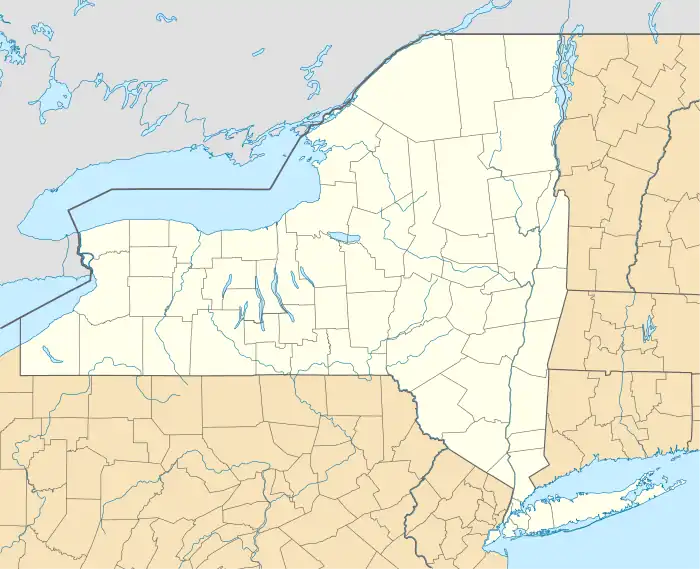 Cranesville Location within the state of New York  Cranesville Cranesville (the United States) | |
| Coordinates: 42°55′02″N 074°08′05″W / 42.91722°N 74.13472°W | |
| Country | United States |
| State | New York |
| County | Montgomery |
| Elevation | 269 ft (82 m) |
| Time zone | UTC-7 (Mountain (MST)) |
| • Summer (DST) | UTC-7 (MST) |
| Area code | 518 |
| FIPS code | 04-18861 |
| GNIS feature ID | 947708 |
Cranesville is a populated place situated in Montgomery County, New York, United States.[2] It is hamlet within the town of Amsterdam on New York State Route 5, along the Mohawk River. It has an estimated elevation of 269 feet (82 m) above sea level.[1] The community is named after early settler David Crane. Cranesville was struck by a tornado in September of 2011 which caused significant tree damage along with some damage to buildings.
References
- 1 2 "Feature Detail Report for: Cranesville". Geographic Names Information System. United States Geological Survey, United States Department of the Interior.
- ↑ "Cranesville (in Montgomery County, NY) Populated Place Profile". AZ Hometown Locator. Retrieved April 19, 2017.
Municipalities and communities of Montgomery County, New York, United States | ||
|---|---|---|
| City |  | |
| Towns | ||
| Villages | ||
| CDP | ||
| Hamlets | ||
| Footnotes | ‡This populated place also has portions in an adjacent county or counties | |
,
This article is issued from Wikipedia. The text is licensed under Creative Commons - Attribution - Sharealike. Additional terms may apply for the media files.