Corva, Arizona | |
|---|---|
Populated place | |
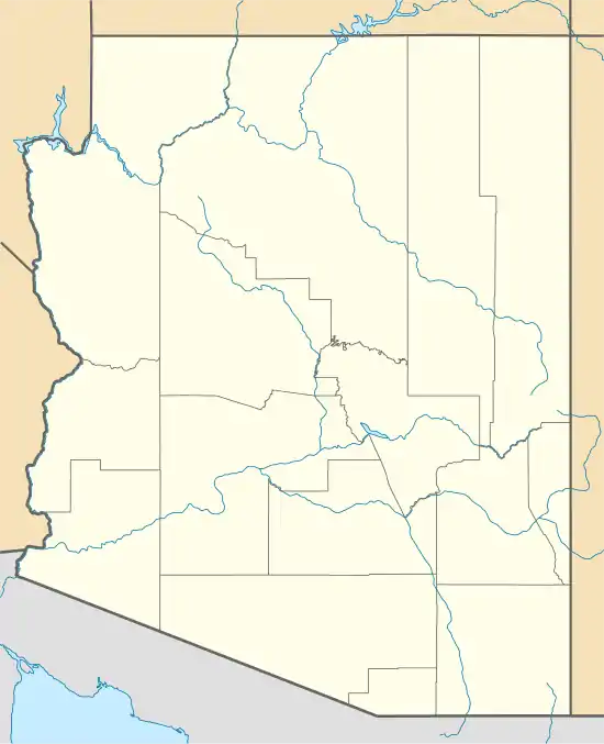 Corva, Arizona Location within the state of Arizona  Corva, Arizona Corva, Arizona (the United States) | |
| Coordinates: 35°16′31″N 112°20′58″W / 35.27528°N 112.34944°W | |
| Country | United States |
| State | Arizona |
| County | Coconino |
| Elevation | 6,227 ft (1,898 m) |
| Time zone | UTC-7 (Mountain (MST)) |
| • Summer (DST) | UTC-7 (MST) |
| Area code | 928 |
| FIPS code | 04-16225 |
| GNIS feature ID | 27984 |
Corva was a populated place situated in Coconino County, Arizona.[2] It has an estimated elevation of 6,227 feet (1,898 m) above sea level.[1]
History
Corva was situated along the Santa Fe railroad. In 1913, houses were completed and occupied for area railroad workers.[3]
References
- 1 2 "Feature Detail Report for: Corva". Geographic Names Information System. United States Geological Survey, United States Department of the Interior.
- ↑ "Corva (in Coconino County, AZ) Populated Place Profile". AZ Hometown Locator. Retrieved November 4, 2016.
- ↑ "(Untitled)". The Winslow Mail. September 27, 1913.
Municipalities and communities of Coconino County, Arizona, United States | ||
|---|---|---|
| Cities | 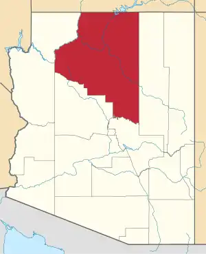 | |
| Towns | ||
| CDPs |
| |
| Populated places | ||
| Indian reservations | ||
| Ghost towns | ||
| Footnotes | ‡This populated place also has portions in an adjacent county or counties | |
This article is issued from Wikipedia. The text is licensed under Creative Commons - Attribution - Sharealike. Additional terms may apply for the media files.