Cora, West Virginia | |
|---|---|
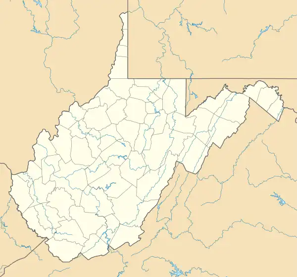
 Old US Highway 119 in Cora | |
 Cora  Cora | |
| Coordinates: 37°50′03″N 82°01′35″W / 37.83417°N 82.02639°W | |
| Country | United States |
| State | West Virginia |
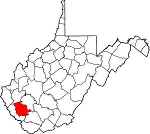
| County | Logan |
| Elevation | 738 ft (225 m) |
| Time zone | UTC-5 (Eastern (EST)) |
| • Summer (DST) | UTC-4 (EDT) |
| ZIP code | 25614 |
| Area code(s) | 304 & 681 |
| GNIS feature ID | 1554190[1] |
Cora is an unincorporated community in Logan County, West Virginia, United States. Cora is 2 miles (3 km) southwest of Logan, along the Copperas Mine Fork.[2] Cora has a post office with ZIP code 25614.[3] It is part of the Mount Gay-Shamrock census-designated place.
Climate
The climate in this area is characterized by hot, humid summers and generally mild to cool winters. According to the Köppen Climate Classification system, Cora has a humid subtropical climate, abbreviated "Cfa" on climate maps.[4]
References
- ↑ U.S. Geological Survey Geographic Names Information System: Cora, West Virginia
- ↑ West Virginia Atlas & Gazetteer. Yarmouth, Me.: DeLorme. 1997. p. 57. ISBN 0-89933-246-3.
- ↑ ZIP Code Lookup Archived 2011-06-14 at the Wayback Machine
- ↑ Climate Summary for Cora, West Virginia
This article is issued from Wikipedia. The text is licensed under Creative Commons - Attribution - Sharealike. Additional terms may apply for the media files.