| Clérette | |
|---|---|
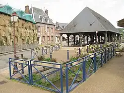 The Clérette at Clères | |
  | |
| Location | |
| Country | France |
| Physical characteristics | |
| Source | |
| • location | Clères |
| • elevation | 178 m (584 ft) |
| Mouth | |
• location | The Cailly at Montville |
• coordinates | 49°54′N 1°07′E / 49.900°N 1.117°E |
| Length | 10 km (6.2 mi) |
| Basin size | 67 km2 (26 sq mi) |
| Discharge | |
| • average | 0.63 m3/s (22 cu ft/s) |
| Basin features | |
| Progression | Cailly→ Seine→ English Channel |
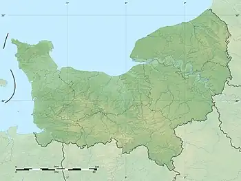
The Clérette is a river of Normandy, France, 10 kilometres (6.2 mi) in length, flowing through the department of Seine-Maritime. It is a right tributary of the Cailly.[1]
Geography
The Clérette has its source in the northern part of the territory of the commune of Clères. Taking a southern route, it passes the hamlet of Le Tot then flows through the commune of Anceaumeville, meeting the Cailly at Montville.
See also
Bibliography
- Albert Hennetier, Aux sources normandes: Promenade au fil des rivières en Seine-Maritime, Ed. Bertout, Luneray, 2006 ISBN 2867436230
References
This article is issued from Wikipedia. The text is licensed under Creative Commons - Attribution - Sharealike. Additional terms may apply for the media files.