Cipérez | |
|---|---|
municipality | |
 Flag  Seal | |
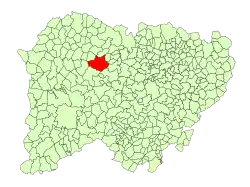 Location in Salamanca | |
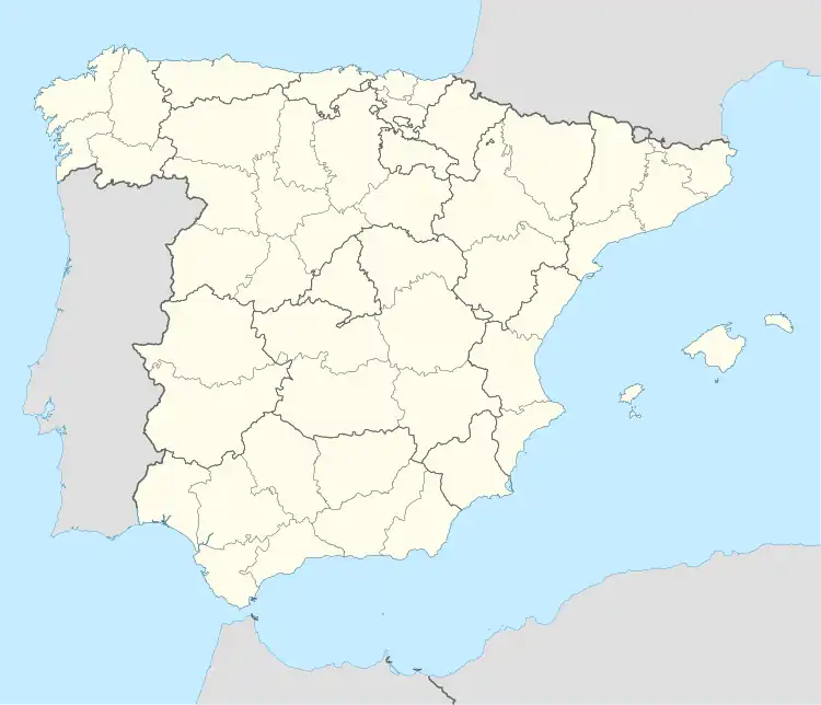 Cipérez Location in Spain | |
| Coordinates: 40°57′46″N 6°15′50″W / 40.96278°N 6.26389°W | |
| Country | Spain |
| Autonomous community | Castile and León |
| Province | Salamanca |
| Comarca | Vitigudino |
| Subcomarca | Tierra de Vitigudino |
| Government | |
| • Mayor | Juan Francisco Alonso Ramos (Spanish Socialist Workers' Party) |
| Area | |
| • Total | 105 km2 (41 sq mi) |
| Elevation | 769 m (2,523 ft) |
| Population (2018)[2] | |
| • Total | 279 |
| • Density | 2.7/km2 (6.9/sq mi) |
| Time zone | UTC+1 (CET) |
| • Summer (DST) | UTC+2 (CEST) |
| Postal code | 37216 |
Cipérez is a village and large municipality in the province of Salamanca, western Spain, part of the autonomous community of Castile-Leon. It is located 60 kilometres (37 mi) from the provincial capital city of Salamanca and as of 2016 has a population of 278 people.[3]
Geography
The municipality covers an area of 105 km2 (41 sq mi).[1] It lies 769 metres (2,523 ft) above sea level at the center and the postal code is 37216.
Economy
The basis of the economy is agriculture.
References
- 1 2 3 "Municipio:Cipérez". www.lasalina.es (in Spanish). Retrieved 2017-10-29.
- ↑ Municipal Register of Spain 2018. National Statistics Institute.
- ↑ "Salamanca: Población por municipios y sexo". www.ine.es (in Spanish). Retrieved 2017-10-29.
This article is issued from Wikipedia. The text is licensed under Creative Commons - Attribution - Sharealike. Additional terms may apply for the media files.