| Chowchilla Mountains | |
|---|---|
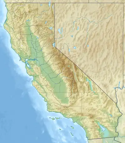 Location of Chowchilla Mountains in California[1] | |
| Highest point | |
| Elevation | 1,768 m (5,801 ft) |
| Geography | |
| Country | United States |
| State | California |
| District | Mariposa County |
| Range coordinates | 37°31′29.771″N 119°43′18.581″W / 37.52493639°N 119.72182806°W |
| Topo map | USGS Wawona |
The Chowchilla Mountains are a mountain range in Mariposa County, California.[1]
References
This article is issued from Wikipedia. The text is licensed under Creative Commons - Attribution - Sharealike. Additional terms may apply for the media files.