Chitral Airport چترال ہوائی اڈا | |||||||||||
|---|---|---|---|---|---|---|---|---|---|---|---|
 | |||||||||||
| Summary | |||||||||||
| Operator | Pakistan Civil Aviation Authority | ||||||||||
| Serves | Chitral, Khyber-Pakhtunkhwa | ||||||||||
| Elevation AMSL | 1,500 m / 4,921 ft | ||||||||||
| Coordinates | 35°52′54″N 071°47′53″E / 35.88167°N 71.79806°E | ||||||||||
| Map | |||||||||||
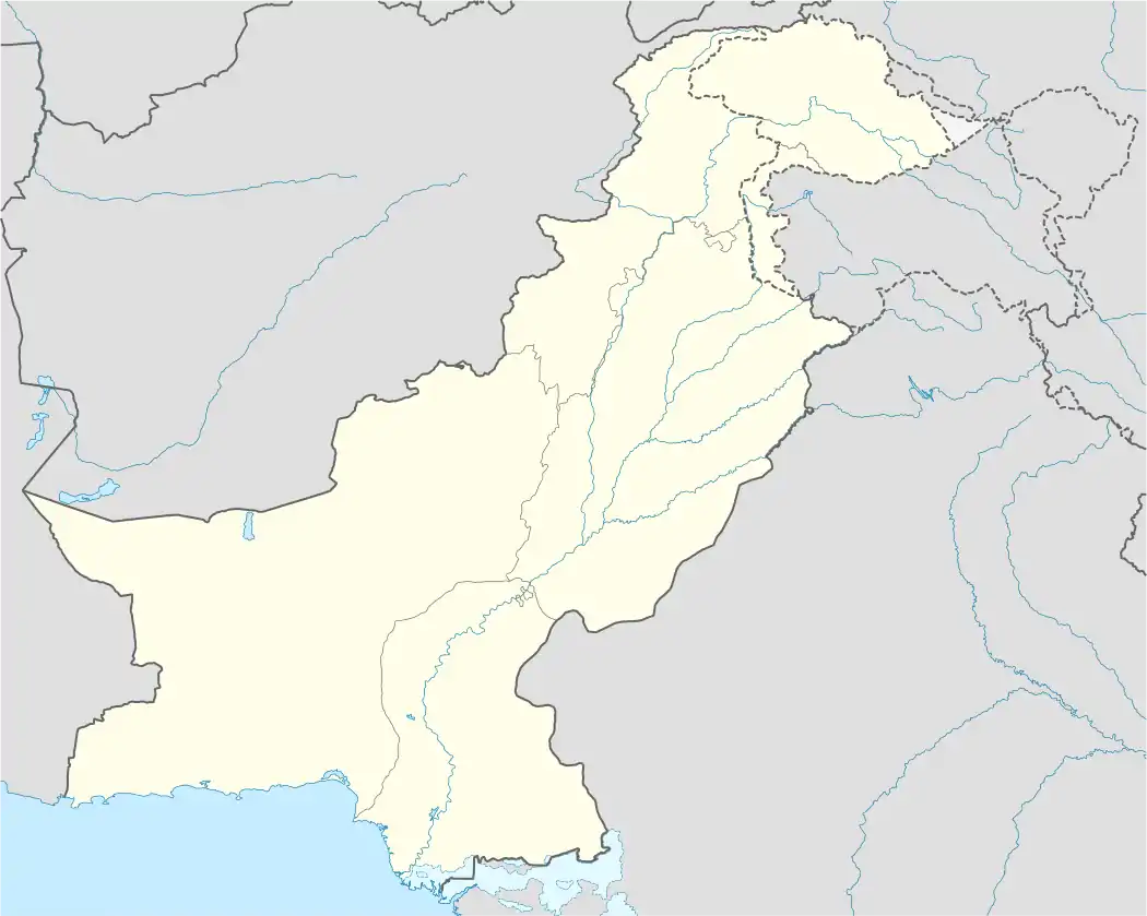 CJL Location of the airport in Pakistan | |||||||||||
| Runways | |||||||||||
| |||||||||||
| Statistics (2017-18[1]) | |||||||||||
| |||||||||||
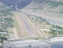
Chitral Airport (IATA: CJL, ICAO: OPCH) is a small domestic airport situated 2 NM (3.7 km) north of the city centre of Chitral, in the Khyber-Pakhtunkhwa province of Pakistan.[5][6]
Airlines and destinations
| Airlines | Destinations |
|---|---|
| Pakistan International Airlines | Islamabad, Peshawar |
See also
References
- ↑ "Statistical Data for Web site Major Traffic Flow Airport & Airline wise - Pakistan Civil Aviation Authority".
- ↑ AIP Pakistan: OPCH – Chitral Archived 2007-10-19 at the Wayback Machine
- ↑ "Airport information for OPCH". World Aero Data. Archived from the original on 2019-03-05.
{{cite web}}: CS1 maint: unfit URL (link) Data current as of October 2006. Source: DAFIF. - ↑ Airport information for CJL at Great Circle Mapper. Source: DAFIF (effective October 2006).
- ↑ "Chitral airport lacks facilities". DAWN.COM. December 1, 2003.
- ↑ "Documentary about Airport of Chitral". www.radio.gov.pk.
External links
This article is issued from Wikipedia. The text is licensed under Creative Commons - Attribution - Sharealike. Additional terms may apply for the media files.