Chestervale, Illinois | |
|---|---|
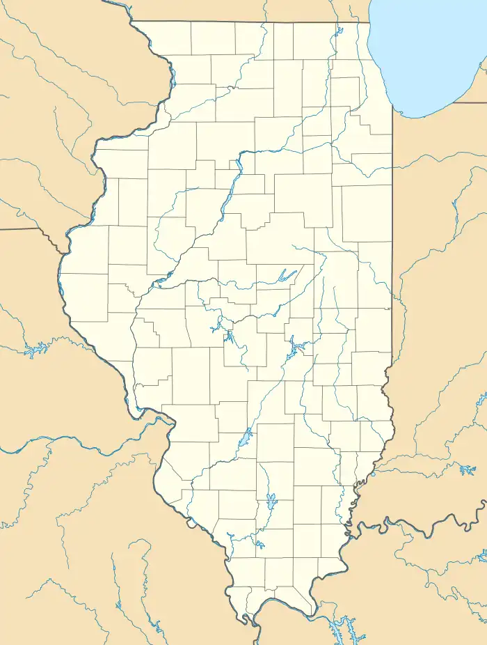 Chestervale Location in Illinois  Chestervale Location in the United States | |
| Coordinates: 40°05′32″N 89°19′18″W / 40.09222°N 89.32167°W[1] | |
| Country | United States |
| State | Illinois |
| County | Logan |
| Township | Chester |
| Elevation | 610 ft (190 m) |
| Time zone | UTC−6 (CST) |
| • Summer (DST) | UTC−5 (CDT) |
| ZIP Code | 62656 |
| Area code | 217 |
| GNIS feature ID | 406031[1] |
Chestervale is an unincorporated community in Logan County in Central Illinois. It is approximately 3.2 miles southeast of Lincoln, along Illinois Route 121. The community consists of a grain elevator, a county highway shed and a few homes. It is on the Canadian National Railway.
References
External links
Municipalities and communities of Logan County, Illinois, United States | ||
|---|---|---|
| Cities | Map of Illinois highlighting Logan County | |
| Villages | ||
| Townships | ||
| CDPs | ||
| Other unincorporated communities | ||
| Footnotes | ‡This populated place also has portions in an adjacent county or counties | |
This article is issued from Wikipedia. The text is licensed under Creative Commons - Attribution - Sharealike. Additional terms may apply for the media files.