Chauffayer | |
|---|---|
Part of Aubessagne | |
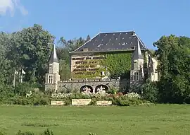 Château des Herbeys | |
 Coat of arms | |
Location of Chauffayer | |
 Chauffayer 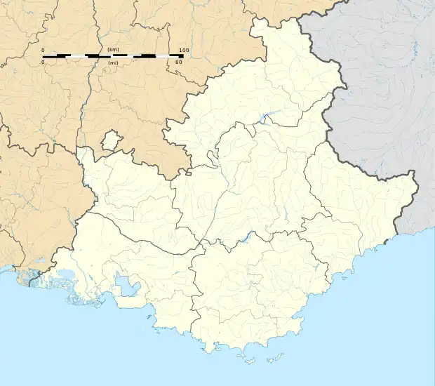 Chauffayer | |
| Coordinates: 44°45′18″N 6°00′34″E / 44.755°N 6.0094°E | |
| Country | France |
| Region | Provence-Alpes-Côte d'Azur |
| Department | Hautes-Alpes |
| Arrondissement | Gap |
| Canton | Saint-Bonnet-en-Champsaur |
| Commune | Aubessagne |
| Area 1 | 10.9 km2 (4.2 sq mi) |
| Population (2015)[1] | 383 |
| • Density | 35/km2 (91/sq mi) |
| Time zone | UTC+01:00 (CET) |
| • Summer (DST) | UTC+02:00 (CEST) |
| Postal code | 05800 |
| Elevation | 775–1,132 m (2,543–3,714 ft) (avg. 910 m or 2,990 ft) |
| 1 French Land Register data, which excludes lakes, ponds, glaciers > 1 km2 (0.386 sq mi or 247 acres) and river estuaries. | |
Chauffayer (Vivaro-Alpine: Chaufaier) is a former commune in the Hautes-Alpes department in southeastern France. On 1 January 2018, it was merged into the new commune of Aubessagne.[2]
Population
| Year | Pop. | ±% p.a. |
|---|---|---|
| 2006 | 377 | — |
| 2011 | 391 | +0.73% |
| 2015 | 383 | −0.52% |
| Source: INSEE[3][1] | ||
See also
References
- 1 2 Téléchargement du fichier d'ensemble des populations légales en 2015, INSEE
- ↑ Arrêté préfectoral 23 November 2017 (in French)
- ↑ Populations légales 2011, INSEE
Wikimedia Commons has media related to Chauffayer.
This article is issued from Wikipedia. The text is licensed under Creative Commons - Attribution - Sharealike. Additional terms may apply for the media files.