Champigny-le-Sec | |
|---|---|
Part of Champigny en Rochereau | |
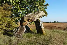 The Dolmen of Fontenaille, in Champigny-le-Sec | |
Location of Champigny-le-Sec | |
 Champigny-le-Sec 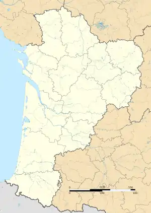 Champigny-le-Sec | |
| Coordinates: 46°42′58″N 0°09′20″E / 46.7161°N 0.1556°E | |
| Country | France |
| Region | Nouvelle-Aquitaine |
| Department | Vienne |
| Arrondissement | Poitiers |
| Canton | Migné-Auxances |
| Commune | Champigny en Rochereau |
| Area 1 | 24.31 km2 (9.39 sq mi) |
| Population (2019)[1] | 1,110 |
| • Density | 46/km2 (120/sq mi) |
| Time zone | UTC+01:00 (CET) |
| • Summer (DST) | UTC+02:00 (CEST) |
| Postal code | 86170 |
| Elevation | 93–141 m (305–463 ft) (avg. 123 m or 404 ft) |
| 1 French Land Register data, which excludes lakes, ponds, glaciers > 1 km2 (0.386 sq mi or 247 acres) and river estuaries. | |
Champigny-le-Sec is a former commune in the Vienne department in the Nouvelle-Aquitaine region in western France. On 1 January 2017, it was merged into the new commune Champigny en Rochereau.[2]
See also
References
- ↑ Téléchargement du fichier d'ensemble des populations légales en 2019, INSEE
- ↑ Arrêté préfectoral 19 July 2016 (in French)
Wikimedia Commons has media related to Champigny-le-Sec.
This article is issued from Wikipedia. The text is licensed under Creative Commons - Attribution - Sharealike. Additional terms may apply for the media files.