Champcervon | |
|---|---|
Part of Le Grippon | |
.jpg.webp) The church of Saint-Martin | |
Location of Champcervon | |
 Champcervon 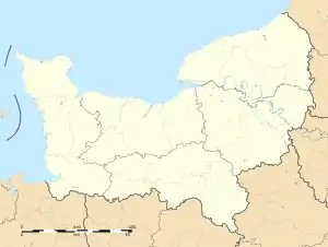 Champcervon | |
| Coordinates: 48°46′42″N 1°23′39″W / 48.7783°N 1.3942°W | |
| Country | France |
| Region | Normandy |
| Department | Manche |
| Arrondissement | Avranches |
| Canton | Bréhal |
| Commune | Le Grippon |
| Area 1 | 5.63 km2 (2.17 sq mi) |
| Population (2013)[1] | 215 |
| • Density | 38/km2 (99/sq mi) |
| Time zone | UTC+01:00 (CET) |
| • Summer (DST) | UTC+02:00 (CEST) |
| Postal code | 50320 |
| Elevation | 81–132 m (266–433 ft) (avg. 92 m or 302 ft) |
| 1 French Land Register data, which excludes lakes, ponds, glaciers > 1 km2 (0.386 sq mi or 247 acres) and river estuaries. | |
Champcervon (French pronunciation: [ʃɑ̃sɛʁvɔ̃]) is a former commune in the Manche department of Normandy in north-western France. On 1 January 2016, it was merged into the new commune of Le Grippon.[2]
See also
References
- ↑ Populations légales 2013: Téléchargement du fichier d'ensemble, INSEE
- ↑ Arrêté préfectoral 4 December 2015 (in French)
Wikimedia Commons has media related to Champcervon.
This article is issued from Wikipedia. The text is licensed under Creative Commons - Attribution - Sharealike. Additional terms may apply for the media files.