| Cedar Butte | |
|---|---|
 Cedar Butte  Cedar Butte Cedar Butte (the United States) | |
| Highest point | |
| Elevation | 1880+ ft (573+ m) NGVD 29[1] |
| Prominence | 400 ft (120 m)[1] |
| Coordinates | 47°26′02″N 121°44′31″W / 47.4339470°N 121.7418080°W[1] |
| Geography | |
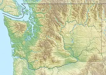
| Location | King County, Washington, U.S. |
| Parent range | Cascades |
| Topo map | USGS Chester Morse Lake |
Cedar Butte a small forested mountain south of North Bend, Washington. It is east of Rattlesnake Lake at the foot of Mount Washington. The summit can be reached by a low-impact hike from the Iron Horse Trail.
References
- 1 2 3 "Cedar Butte, Washington". Peakbagger.com.
This article is issued from Wikipedia. The text is licensed under Creative Commons - Attribution - Sharealike. Additional terms may apply for the media files.