Caye Chapel Airport | |||||||||||
|---|---|---|---|---|---|---|---|---|---|---|---|
 | |||||||||||
| Summary | |||||||||||
| Airport type | Private | ||||||||||
| Serves | Caye Chapel | ||||||||||
| Elevation AMSL | 3 ft / 1 m | ||||||||||
| Coordinates | 17°41′00″N 88°02′40″W / 17.68333°N 88.04444°W | ||||||||||
| Map | |||||||||||
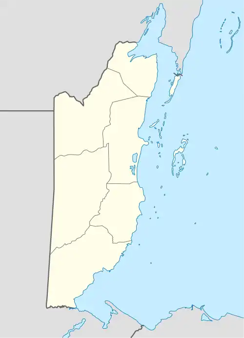 CYC Location in Belize | |||||||||||
| Runways | |||||||||||
| |||||||||||
Source: GCM[1] | |||||||||||
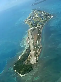
Caye Chapel Airport (IATA: CYC, ICAO: MZCP) is an airport serving Caye Chapel, an island 20 kilometres (12 mi) off the coast of Belize. The runway is at the southern tip of the narrow cay.
Airlines and destinations
| Airlines | Destinations |
|---|---|
| Maya Island Air | Belize City–International, Caye Caulker |
See also
References
- ↑ Airport information for Caye Chapel Airport at Great Circle Mapper.
External links
- OurAirports - Caye Chapel Airport
- Accident history for CYC at Aviation Safety Network
- Aerodromes in Belize - pdf
This article is issued from Wikipedia. The text is licensed under Creative Commons - Attribution - Sharealike. Additional terms may apply for the media files.