Castelsaraceno | |
|---|---|
| Comune di Castelsaraceno | |
 A view in its rural territory. | |
 Coat of arms | |
Location of Castelsaraceno | |
 Castelsaraceno Location of Castelsaraceno in Italy 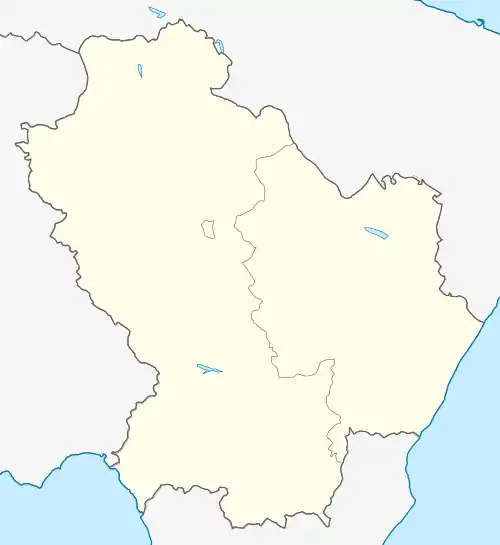 Castelsaraceno Castelsaraceno (Basilicata) | |
| Coordinates: 40°10′N 15°59′E / 40.167°N 15.983°E | |
| Country | Italy |
| Region | Basilicata |
| Province | Potenza (PZ) |
| Frazioni | Bruscati, Frusci, Miraldo, Pié d'Alpi |
| Government | |
| • Mayor | Rocco Rosano |
| Area | |
| • Total | 74.78 km2 (28.87 sq mi) |
| Elevation | 960 m (3,150 ft) |
| Population (2007)[2] | |
| • Total | 1,584 |
| • Density | 21/km2 (55/sq mi) |
| Demonym | Castellani |
| Time zone | UTC+1 (CET) |
| • Summer (DST) | UTC+2 (CEST) |
| Postal code | 85031 |
| Dialing code | 0973 |
| Patron saint | St. Anthony of Padua |
| Saint day | 13 June |
| Website | Official website |
Castelsaraceno (Lucano: Castìeddë) is a town and comune in the province of Potenza, in the Southern Italian region of Basilicata.
Nearby the commune is one of the longest footbridges, with length of 586m - Ponte tibetano di Castelsaraceno.
References
- ↑ "Superficie di Comuni Province e Regioni italiane al 9 ottobre 2011". Italian National Institute of Statistics. Retrieved 16 March 2019.
- ↑ All demographics and other statistics from the Italian statistical institute (Istat)
This article is issued from Wikipedia. The text is licensed under Creative Commons - Attribution - Sharealike. Additional terms may apply for the media files.