Carira
Município de Carira | |
|---|---|
 Flag  Seal | |
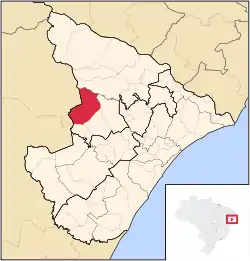 Location of Carira in Sergipe | |
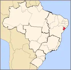
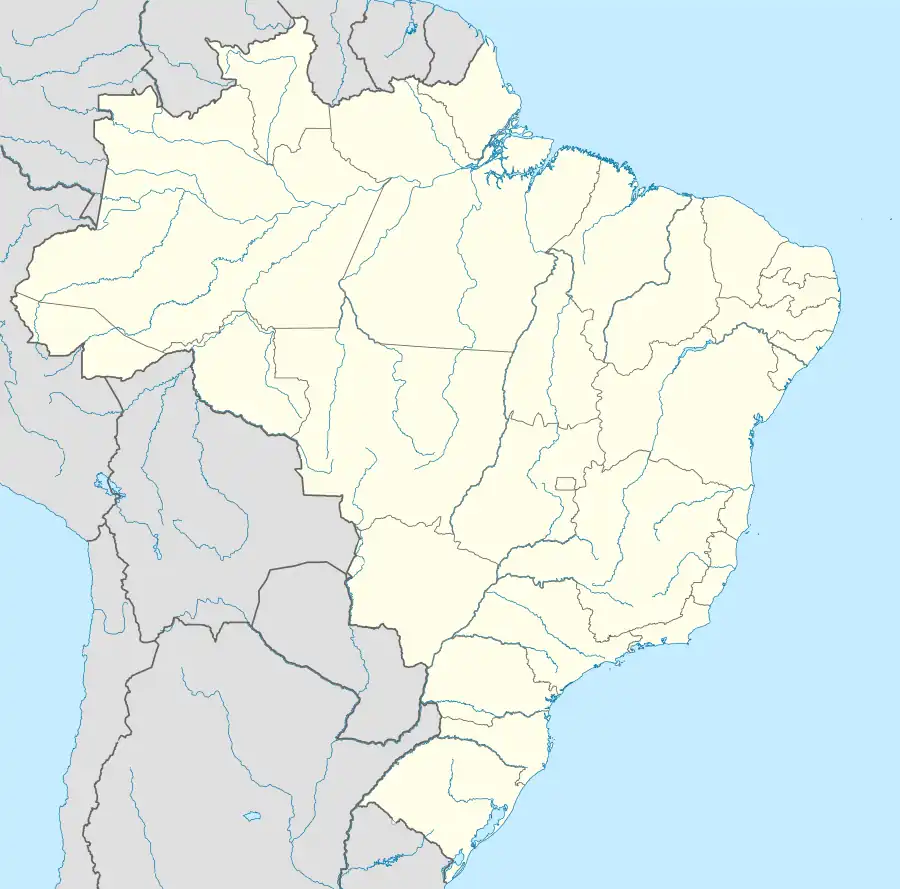 Carira Location of Carira in Brazil | |
| Coordinates: 10°21′39″S 37°42′03″W / 10.36083°S 37.70083°W | |
| Country | |
| Region | Northeast |
| State | |
| Founded | 1953 |
| Government | |
| • Mayor | Diogo Menezes Machado |
| Area | |
| • Total | 636.5 km2 (245.8 sq mi) |
| Elevation | 351 m (1,152 ft) |
| Population (2020 [1]) | |
| • Total | 22,239 |
| • Density | 35/km2 (90/sq mi) |
| Demonym | Carirense |
| Time zone | UTC−3 (BRT) |
| Website | carira |
Carira is a municipality located in the Brazilian state of Sergipe. Its population was 22,239 (2020) and its area is 636.5 km2 (245.8 sq mi). Carira has a population density of 34 inhabitants per square kilometer. Carira is located 112 km (70 mi) from the state capital of Sergipe, Aracaju.[2]
References
- ↑ "IBGE 2020". Retrieved 26 January 2021.
- ↑ "Carira" (in Portuguese). Brasília, Brazil: Instituto Brasileiro de Geografia e Estatística. 2016. Retrieved 2016-11-05.
Capital: Aracaju | |||||||||||||||
| Agreste Sergipano |
|  | |||||||||||||
| Leste Sergipano |
| ||||||||||||||
| Sertao Sergipano |
| ||||||||||||||
This article is issued from Wikipedia. The text is licensed under Creative Commons - Attribution - Sharealike. Additional terms may apply for the media files.