Cametá | |
|---|---|
 Flag  Seal | |
 Location of Almeirim | |
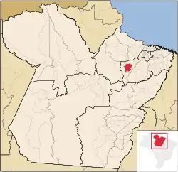
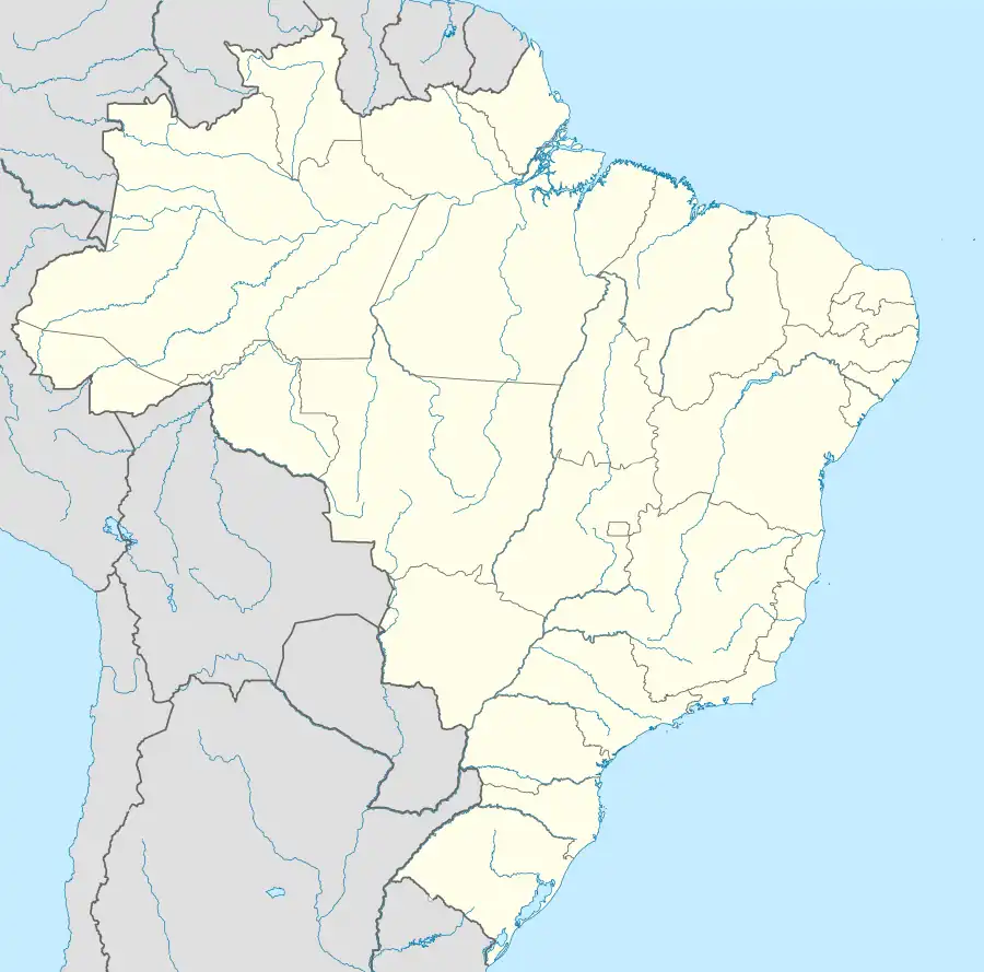 Cametá Location in Brazil | |
| Coordinates: 02°14′38″S 49°29′45″W / 2.24389°S 49.49583°W | |
| Country | Brazil |
| Region | Norte |
| State | Pará |
| Area | |
| • Total | 3,081.367 km2 (1,189.722 sq mi) |
| Elevation | 150 m (492 ft) |
| Population (2020 [2]) | |
| • Total | 139,364 |
| • Density | 45/km2 (120/sq mi) |
| Time zone | UTC−3 (BRT) |
| HDI (2000) | 0.671 – medium[3] |
Cametá is a Brazilian municipality in the state of Pará.
Administration
The mayor is Waldoli Valente, of the Democratic Party.
References
- ↑ "Brazilian Institute of Geography and Statistics" (in Portuguese). 2017. Retrieved 27 March 2019.
2018 Area Total
- ↑ IBGE 2020
- ↑ "Archived copy". Archived from the original on 2009-10-03. Retrieved 2009-12-17.
{{cite web}}: CS1 maint: archived copy as title (link) - UNDP
This article is issued from Wikipedia. The text is licensed under Creative Commons - Attribution - Sharealike. Additional terms may apply for the media files.