| Butte Mountains | |
|---|---|
| Highest point | |
| Elevation | 2,672 m (8,766 ft) |
| Geography | |
| Country | United States |
| State | Nevada |
| District | White Pine County |
| Range coordinates | 39°42′49.758″N 115°16′23.124″W / 39.71382167°N 115.27309000°W |
| Topo map | USGS McBrides Sheep Well |
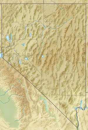
The Butte Mountains are a mountain range in White Pine County, Nevada;[1] which is on the north of the White River Valley.
References
This article is issued from Wikipedia. The text is licensed under Creative Commons - Attribution - Sharealike. Additional terms may apply for the media files.