Bohdalec | |
|---|---|
.jpg.webp) Centre of Bohdalec | |
.png.webp) Flag  Coat of arms | |
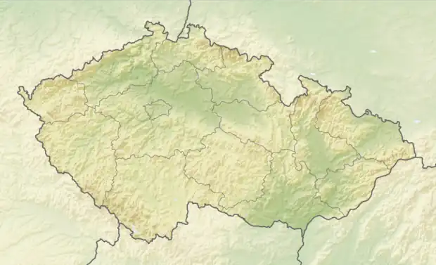 Bohdalec Location in the Czech Republic | |
| Coordinates: 49°28′28″N 16°3′35″E / 49.47444°N 16.05972°E | |
| Country | |
| Region | Vysočina |
| District | Žďár nad Sázavou |
| First mentioned | 1252 |
| Area | |
| • Total | 8.28 km2 (3.20 sq mi) |
| Elevation | 558 m (1,831 ft) |
| Population (2023-01-01)[1] | |
| • Total | 271 |
| • Density | 33/km2 (85/sq mi) |
| Time zone | UTC+1 (CET) |
| • Summer (DST) | UTC+2 (CEST) |
| Postal code | 592 55 |
| Website | www |
Bohdalec is a municipality and village in Žďár nad Sázavou District in the Vysočina Region of the Czech Republic. It has about 300 inhabitants.
Bohdalec lies approximately 14 kilometres (9 mi) south-east of Žďár nad Sázavou, 36 km (22 mi) east of Jihlava, and 137 km (85 mi) south-east of Prague.
References
Wikimedia Commons has media related to Bohdalec.
This article is issued from Wikipedia. The text is licensed under Creative Commons - Attribution - Sharealike. Additional terms may apply for the media files.