Blatno | |
|---|---|
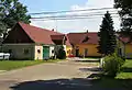
 Hrádečná, a part of Blatno | |
 Flag  Coat of arms | |
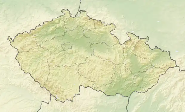 Blatno Location in the Czech Republic | |
| Coordinates: 50°30′42″N 13°21′29″E / 50.51167°N 13.35806°E | |
| Country | |
| Region | Ústí nad Labem |
| District | Chomutov |
| First mentioned | 1352 |
| Area | |
| • Total | 45.34 km2 (17.51 sq mi) |
| Elevation | 660 m (2,170 ft) |
| Population (2023-01-01)[1] | |
| • Total | 622 |
| • Density | 14/km2 (36/sq mi) |
| Time zone | UTC+1 (CET) |
| • Summer (DST) | UTC+2 (CEST) |
| Postal code | 430 01 |
| Website | www |
Blatno (German: Platten) is a municipality and village in Chomutov District in the Ústí nad Labem Region of the Czech Republic. It has about 600 inhabitants.
Blatno lies approximately 6 kilometres (4 mi) north-west of Chomutov, 52 km (32 mi) west of Ústí nad Labem, and 90 km (56 mi) north-west of Prague.
Administrative parts
Villages of Bečov, Hrádečná, Květnov, Mezihoří, Radenov, Šerchov and Zákoutí are administrative parts of Blatno.
Gallery
 Blatno Castle, now municipal office
%252C_memorial.jpg.webp) World War I memorial
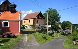
World War I memorial%252C_north_part.jpg.webp) Northern part of Blatno
Northern part of Blatno
References
Wikimedia Commons has media related to Blatno (Chomutov District).
This article is issued from Wikipedia. The text is licensed under Creative Commons - Attribution - Sharealike. Additional terms may apply for the media files.