Big Rock | |
|---|---|
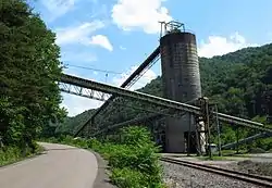 Coal tipple in Big Rock | |
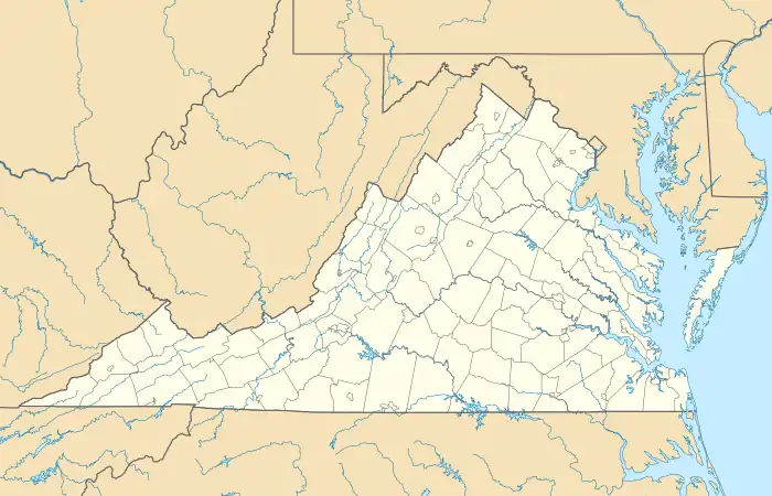 Big Rock Location within the Commonwealth of Virginia  Big Rock Big Rock (the United States) | |
| Coordinates: 37°21′11″N 82°11′20″W / 37.35306°N 82.18889°W | |
| Country | United States |
| State | Virginia |
| County | Buchanan |
| Population (2020) | |
| • Total | 199 |
| Time zone | UTC−5 (Eastern (EST)) |
| • Summer (DST) | UTC−4 (EDT) |
| GNIS feature ID | 1495268[1] |
Big Rock is an unincorporated community and census-designated place (CDP) in Buchanan County, Virginia located at the convergence of County Route 650 and U.S. Route 460, a short distance from the Kentucky state line. It was first listed as a CDP in the 2020 census with a population of 199.[2]
A post office was established at Big Rock in 1854.[3] The boulder from which the community likely took its name was destroyed in the 1930s by the building of the railroad.[4]
References
- ↑ U.S. Geological Survey Geographic Names Information System: Big Rock, Virginia
- ↑ "Big Rock CDP, Virginia". United States Census Bureau. Retrieved April 7, 2022.
- ↑ "Buchanan County". Jim Forte Postal History. Archived from the original on September 28, 2014. Retrieved September 28, 2014.
- ↑ Tennis, Joe (2004). Southwest Virginia Crossroads: An Almanac of Place Names and Places to See. The Overmountain Press. p. 4. ISBN 978-1-57072-256-1.
Municipalities and communities of Buchanan County, Virginia, United States | ||
|---|---|---|
| Town | 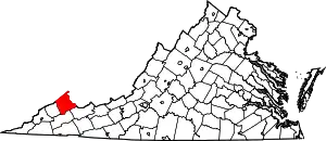 Map of Virginia highlighting Buchanan County | |
| CDPs | ||
| Other communities |
| |
| Footnotes | ‡This populated place also has portions in an adjacent county or counties | |
This article is issued from Wikipedia. The text is licensed under Creative Commons - Attribution - Sharealike. Additional terms may apply for the media files.