Berra | |
|---|---|
| Comune di Berra | |
.JPG.webp) | |
Location of Berra | |
 Berra Location of Berra in Italy 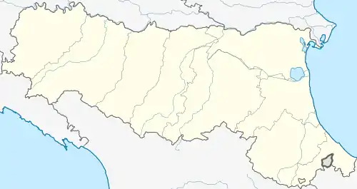 Berra Berra (Emilia-Romagna) | |
| Coordinates: 44°59′N 11°58′E / 44.983°N 11.967°E | |
| Country | Italy |
| Region | Emilia-Romagna |
| Province | Ferrara (FE) |
| Frazioni | Cologna, Serravalle |
| Government | |
| • Mayor | Eric Zaghini |
| Area | |
| • Total | 68.64 km2 (26.50 sq mi) |
| Elevation | 2 m (7 ft) |
| Population (30 April 2017)[2] | |
| • Total | 4,743 |
| • Density | 69/km2 (180/sq mi) |
| Demonym | Berresi |
| Time zone | UTC+1 (CET) |
| • Summer (DST) | UTC+2 (CEST) |
| Postal code | 44033 |
| Dialing code | 0532 |
| Website | Official website |
Berra (Ferrarese: La Bèra) is a comune (municipality) in the Province of Ferrara in the Italian region Emilia-Romagna, located about 70 kilometres (43 mi) northeast of Bologna and about 30 kilometres (19 mi) northeast of Ferrara.
Berra borders the following municipalities: Ariano nel Polesine, Codigoro, Copparo, Crespino, Jolanda di Savoia, Mesola, Papozze, Ro, Villanova Marchesana.
References
- ↑ "Superficie di Comuni Province e Regioni italiane al 9 ottobre 2011". Italian National Institute of Statistics. Retrieved 16 March 2019.
- ↑ All demographics and other statistics: Italian statistical institute Istat.
External links
This article is issued from Wikipedia. The text is licensed under Creative Commons - Attribution - Sharealike. Additional terms may apply for the media files.