Bentley | |
|---|---|
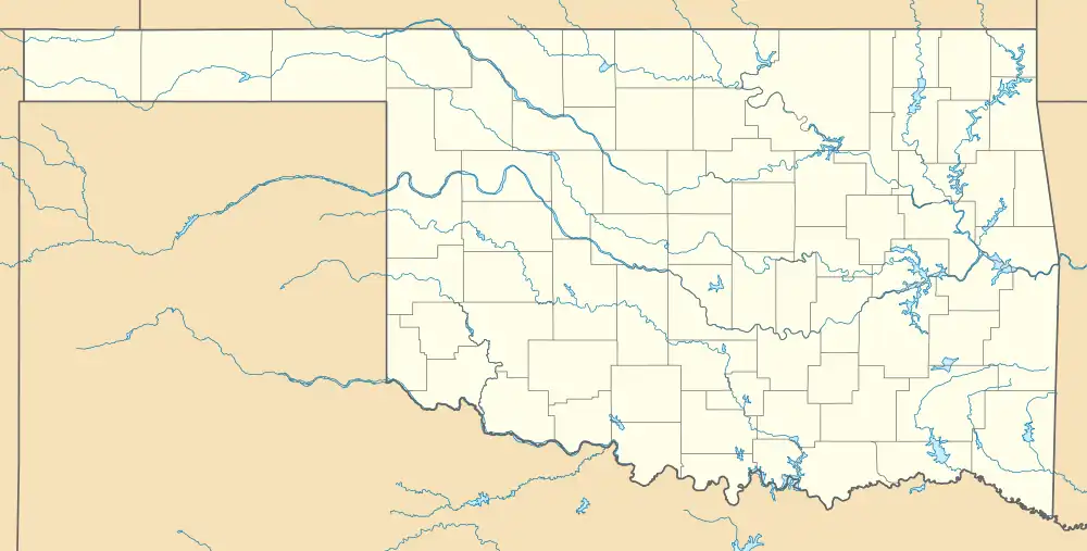 Bentley Location within the state of Oklahoma  Bentley Bentley (the United States) | |
| Coordinates: 34°13′03″N 96°04′47″W / 34.21750°N 96.07972°W | |
| Country | United States |
| State | Oklahoma |
| County | Atoka |
| Area | |
| • Total | 0.34 sq mi (0.88 km2) |
| • Land | 0.34 sq mi (0.88 km2) |
| • Water | 0.00 sq mi (0.00 km2) |
| Elevation | 581 ft (177 m) |
| Population (2020) | |
| • Total | 42 |
| • Density | 124.26/sq mi (47.91/km2) |
| Time zone | UTC-6 (Central (CST)) |
| • Summer (DST) | UTC-5 (CDT) |
| FIPS code | 40-05450 |
| GNIS feature ID | 2805306[2] |
Bentley is an unincorporated community in Atoka County, Oklahoma, United States. It lies east of the county seat of Atoka, off Highway 3.
A post office was established at Bentley, Indian Territory on June 1, 1903. It was named for Alva Bentley, a territorial-era educator. At the time of its founding, the community was located in Atoka County, Choctaw Nation.[3]
There was once a school at Bentley, but it has closed down. Its post office closed on August 30, 1963.
On the main street of Bentley, there is a fire department, community center and a Southern Baptist Church.
Demographics
| Census | Pop. | Note | %± |
|---|---|---|---|
| 2020 | 42 | — | |
| U.S. Decennial Census[4] | |||
References
- ↑ "ArcGIS REST Services Directory". United States Census Bureau. Retrieved September 20, 2022.
- 1 2 U.S. Geological Survey Geographic Names Information System: Bentley, Oklahoma
- ↑ Morris, John W. Historical Atlas of Oklahoma (Norman: University of Oklahoma Press, 1986), plate 38; Shirk, George H. Oklahoma Place Names (Norman: University of Oklahoma Press, 1965), pp. 20-21.
- ↑ "Census of Population and Housing". Census.gov. Retrieved June 4, 2016.
Municipalities and communities of Atoka County, Oklahoma, United States | ||
|---|---|---|
| City | 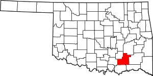 Atoka County map | |
| Towns | ||
| CDPs | ||
| Other communities | ||
| Ghost towns | ||
| Indian reservation | ||
| Footnotes | ‡This populated place also has portions in another county or counties | |
This article is issued from Wikipedia. The text is licensed under Creative Commons - Attribution - Sharealike. Additional terms may apply for the media files.