Bemposta | |
|---|---|
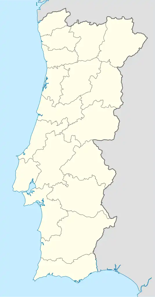 Bemposta Location in Portugal | |
| Coordinates: 39°21′04″N 8°08′24″W / 39.351°N 8.140°W | |
| Country | |
| Region | Centro |
| Intermunic. comm. | Médio Tejo |
| District | Santarém |
| Municipality | Abrantes |
| Area | |
| • Total | 187.45 km2 (72.37 sq mi) |
| Population (2011) | |
| • Total | 1,795 |
| • Density | 9.6/km2 (25/sq mi) |
| Time zone | UTC±00:00 (WET) |
| • Summer (DST) | UTC+01:00 (WEST) |
Bemposta is a Portuguese freguesia ("civil parish"), located in Abrantes Municipality, in Santarém District. The population in 2011 was 1,795,[1] in an area of 187.45 km².[2] The parish is by far the largest in the municipality, but also the least densely populated.
References
- ↑ Instituto Nacional de Estatística (INE), Census 2011 results according to the 2013 administrative division of Portugal
- ↑ "Áreas das freguesias, concelhos, distritos e país". Archived from the original on 2018-11-05. Retrieved 2018-11-05.
Parishes of Abrantes Municipality | ||
|---|---|---|
This article is issued from Wikipedia. The text is licensed under Creative Commons - Attribution - Sharealike. Additional terms may apply for the media files.