| Behm Mountain | |
|---|---|
 Behm Mountain Adams County, Ohio, United States  Behm Mountain Behm Mountain (the United States) | |
| Highest point | |
| Elevation | 1,089 ft (332 m)[1] |
| Coordinates | 38°50′13″N 83°20′57″W / 38.83694°N 83.34917°W[1] |
| Geography | |
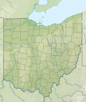
| Location | Adams County, Ohio, United States |
| Topo map | USGS Blue Creek |
Behm Mountain is in Adams County, Ohio, and is a spur off the Coleman Ridge. Behm Mountain is located half a mile (800 metres) east of White Rock Road, north of Ohio State Route 348, between the communities of Fawcett and Wamsley.[2]
References
- 1 2 "Behm Mountain". Geographic Names Information System. United States Geological Survey, United States Department of the Interior. July 12, 1979. Retrieved April 11, 2023.
- ↑ "Behm Mountain". Retrieved April 11, 2023.
This article is issued from Wikipedia. The text is licensed under Creative Commons - Attribution - Sharealike. Additional terms may apply for the media files.