| Bay Springs Lake | |
|---|---|
 Jamie Whitten Lock and Dam | |
 Bay Springs Lake  Bay Springs Lake | |
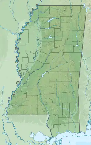
| Location | Tishomingo / Prentiss counties, Mississippi |
| Coordinates | 34°34′16″N 88°18′58″W / 34.5710°N 88.3160°W |
| Type | reservoir |
| Primary inflows | Tennessee-Tombigbee Waterway |
| Primary outflows | Tennessee-Tombigbee Waterway |
| Basin countries | United States |
| Max. length | 9 mi (14 km) (14 km) |
| Surface elevation | 407 ft (124 m)[1] |
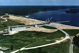
Bay Springs Lake is a reservoir on the Tennessee-Tombigbee Waterway in the U.S. state of Mississippi. It is impounded by the Jamie Whitten Lock and Dam. The lake is approximately 9 miles (14 km) long, between waterway mile markers 412 at the dam, and 421 near the entrance to the divide cut.
References
External links
- "map of Bay Springs Lake" (PDF). Archived from the original (PDF) on 2006-09-22. (389 KiB) from USACE.
This article is issued from Wikipedia. The text is licensed under Creative Commons - Attribution - Sharealike. Additional terms may apply for the media files.