Bannes | |
|---|---|
Location of Bannes | |
 Bannes 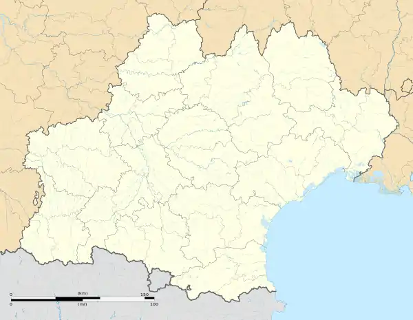 Bannes | |
| Coordinates: 44°48′41″N 1°54′39″E / 44.8114°N 1.9108°E | |
| Country | France |
| Region | Occitania |
| Department | Lot |
| Arrondissement | Figeac |
| Canton | Saint-Céré |
| Government | |
| • Mayor (2020–2026) | Christian Larraufie[1] |
| Area 1 | 10.11 km2 (3.90 sq mi) |
| Population | 146 |
| • Density | 14/km2 (37/sq mi) |
| Time zone | UTC+01:00 (CET) |
| • Summer (DST) | UTC+02:00 (CEST) |
| INSEE/Postal code | 46017 /46400 |
| Elevation | 272–595 m (892–1,952 ft) (avg. 538 m or 1,765 ft) |
| 1 French Land Register data, which excludes lakes, ponds, glaciers > 1 km2 (0.386 sq mi or 247 acres) and river estuaries. | |
Bannes (French pronunciation: [ban]; Occitan: Banas) is a commune in the Lot department in southwestern France.
Population
| Year | Pop. | ±% p.a. |
|---|---|---|
| 1968 | 234 | — |
| 1975 | 219 | −0.94% |
| 1982 | 196 | −1.57% |
| 1990 | 203 | +0.44% |
| 1999 | 166 | −2.21% |
| 2009 | 138 | −1.83% |
| 2014 | 120 | −2.76% |
| 2020 | 144 | +3.09% |
| Source: INSEE[3] | ||
See also
References
- ↑ "Répertoire national des élus: les maires". data.gouv.fr, Plateforme ouverte des données publiques françaises (in French). 2 December 2020.
- ↑ "Populations légales 2021". The National Institute of Statistics and Economic Studies. 28 December 2023.
- ↑ Population en historique depuis 1968, INSEE
Wikimedia Commons has media related to Bannes (Lot).
This article is issued from Wikipedia. The text is licensed under Creative Commons - Attribution - Sharealike. Additional terms may apply for the media files.