Baneheide | |
|---|---|
Hamlet | |
.JPG.webp) | |
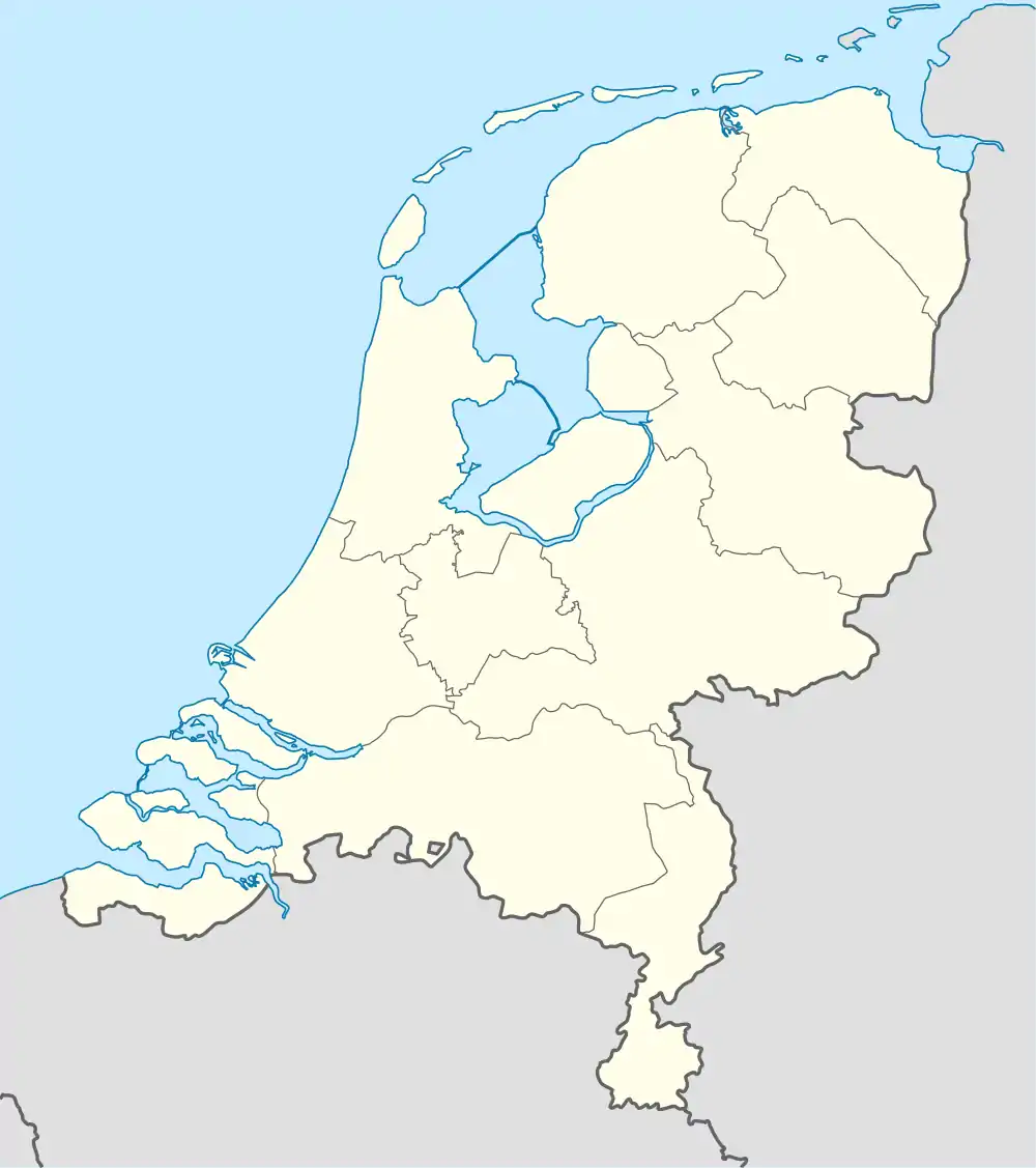 Baneheide Location in the Netherlands 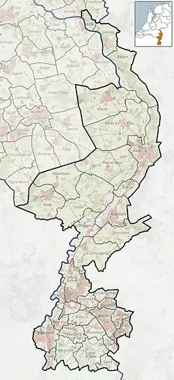 Baneheide Location in the province of Limburg in the Netherlands | |
| Coordinates: 50°49′5″N 5°58′28″E / 50.81806°N 5.97444°E | |
| Country | Netherlands |
| Province | Limburg (Netherlands) |
| Municipality | Simpelveld |
| Area | |
| • Total | 0.39 km2 (0.15 sq mi) |
| Elevation | 173 m (568 ft) |
| Population (2021)[1] | |
| • Total | 140 |
| • Density | 360/km2 (930/sq mi) |
| Time zone | UTC+1 (CET) |
| • Summer (DST) | UTC+2 (CEST) |
| Postal code | 6351[1] |
| Dialing code | 045 |
Baneheide (Dutch pronunciation: [ˌbaːnəˈɦɛidə]; Ripuarian: De Boanhei [də boənˈɦɛi] is a hamlet in the Dutch province of Limburg. It is a part of the municipality of Simpelveld, and lies about 9 km southwest of Kerkrade.
It was first mentioned in 1603 or 1604 as Baenenheidt, and means "cultivated heath".[3]
National monuments
Baneheide has four farms that have been designated national monuments.
.JPG.webp)
.JPG.webp)
.JPG.webp)
.JPG.webp)
References
- 1 2 3 "Kerncijfers wijken en buurten 2021". Central Bureau of Statistics. Retrieved 25 April 2022.
- ↑ "Postcodetool for 6351AA". Actueel Hoogtebestand Nederland (in Dutch). Het Waterschapshuis. Retrieved 25 April 2022.
- ↑ "Baneheide - (geografische naam)". Etymologiebank (in Dutch). Retrieved 25 April 2022.
- ↑ Rijksmonument nr 33595
- ↑ Rijksmonument nr 33596
- ↑ Rijksmonument nr 33618
- ↑ Rijksmonument nr 33617
This article is issued from Wikipedia. The text is licensed under Creative Commons - Attribution - Sharealike. Additional terms may apply for the media files.