Balikuchi | |
|---|---|
Village | |
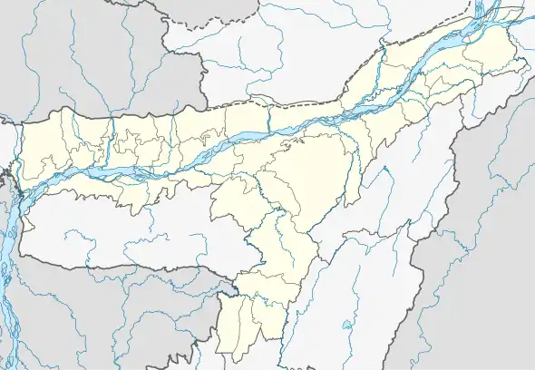 Balikuchi Location in Assam, India  Balikuchi Balikuchi (India) | |
| Coordinates: 26°23′N 91°41′E / 26.39°N 91.68°E | |
| Country | |
| State | Assam |
| Region | Western Assam |
| District | Kamrup |
| Government | |
| • Type | Panchayati raj (India) |
| • Body | Gram panchayat |
| Elevation | 42 m (138 ft) |
| Population (2001) | |
| • Total | 1,148,824 |
| Languages | |
| • Official | Assamese |
| Time zone | UTC+5:30 (IST) |
| PIN | 781381 |
| Vehicle registration | AS |
| Website | kamrup |
Balikuchi is a village in Kamrup rural district, situated in north bank of river Brahmaputra.[1]
Transport
The village is near National Highway 31 and connected to nearby towns and cities with regular buses, trekkers and other modes of transport.
See also
References
- ↑ "Balikuchi". pincode.net.in. Archived from the original on 18 February 2015. Retrieved 1 September 2015.
This article is issued from Wikipedia. The text is licensed under Creative Commons - Attribution - Sharealike. Additional terms may apply for the media files.