Bégin | |
|---|---|
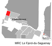 | |
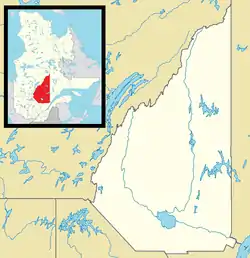 Bégin Location in Saguenay–Lac-Saint-Jean Quebec. | |
| Coordinates: 48°40′N 71°20′W / 48.667°N 71.333°W[1] | |
| Country | |
| Province | |
| Region | Saguenay–Lac-Saint-Jean |
| RCM | Le Fjord-du-Saguenay |
| Settled | 1910s |
| Constituted | February 8, 1922 |
| Government | |
| • Mayor | Gérald Savard |
| • Federal riding | Jonquière—Alma |
| • Prov. riding | Dubuc |
| Area | |
| • Total | 195.60 km2 (75.52 sq mi) |
| • Land | 190.58 km2 (73.58 sq mi) |
| Population (2011)[3] | |
| • Total | 868 |
| • Density | 4.6/km2 (12/sq mi) |
| • Pop 2006-2011 | |
| • Dwellings | 431 |
| Time zone | UTC−5 (EST) |
| • Summer (DST) | UTC−4 (EDT) |
| Postal code(s) | |
| Area codes | 418 and 581 |
| Highways | No major routes |
| Climate | Dfb |
| Website | www |
Bégin is a municipality in Quebec, Canada. It is named after Louis-Nazaire Bégin, and was first settled by families from Tadoussac around 1915.[4]
See also
References
- ↑ "Banque de noms de lieux du Québec: Reference number 77509". toponymie.gouv.qc.ca (in French). Commission de toponymie du Québec.
- 1 2 Ministère des Affaires municipales, des Régions et de l'Occupation du territoire - Répertoire des municipalités: Bégin Archived 2015-12-08 at the Wayback Machine
- 1 2 "Bégin census profile". 2011 Census data. Statistics Canada. Retrieved 2010-10-28.
- ↑ "Bégin - Bégin (Municipalité)".
Adjacent Municipal Subdivisions | |
|---|---|
| Cities | |
|---|---|
| Municipalities | |
| Parishes | |
| Unorganized territories | |
| |
This article is issued from Wikipedia. The text is licensed under Creative Commons - Attribution - Sharealike. Additional terms may apply for the media files.