Azuara | |
|---|---|
 | |
 Flag  Seal | |
 Azuara 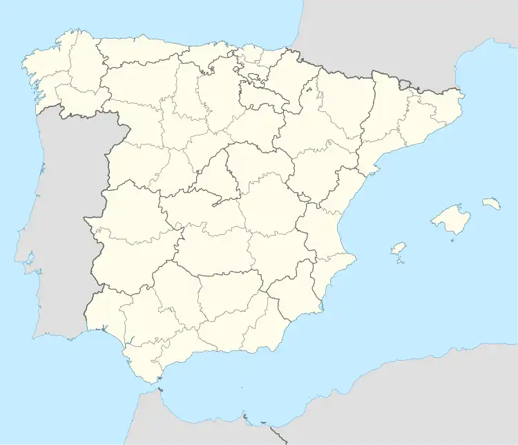 Azuara  Azuara | |
| Coordinates: 41°15′N 0°52′W / 41.250°N 0.867°W | |
| Country | Spain |
| Autonomous community | Aragon |
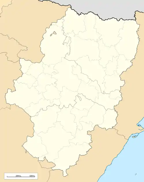
| Province | Zaragoza |
| Comarca | Campo de Belchite |
| Area | |
| • Total | 165 km2 (64 sq mi) |
| Elevation | 603 m (1,978 ft) |
| Population (2018)[1] | |
| • Total | 543 |
| • Density | 3.3/km2 (8.5/sq mi) |
| Time zone | UTC+1 (CET) |
| • Summer (DST) | UTC+2 (CEST) |
| Climate | BSk |
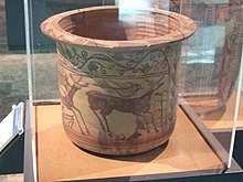
Decorated ancient Iberian earthenware showing deers, one of them attacked by a wolf. Cueva del Cabuchico, Azuara. 1st century BC
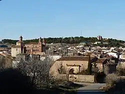
Azuara is a municipality located in the province of Zaragoza, Aragon, Spain. According to the 2010 census the municipality has a population of 220 inhabitants.[2] Its postal code is 50140
Cueva del Cabuchico is an ancient Iberian archaeological site near Azuara.
See also
References
- ↑ Municipal Register of Spain 2018. National Statistics Institute.
- ↑ Instituto Nacional de Estadística (Spain)
External links
Wikimedia Commons has media related to Azuara.
- Azuara site Archived 2007-06-11 at the Wayback Machine
- Ernstson & Claudin - Impact Structures
This article is issued from Wikipedia. The text is licensed under Creative Commons - Attribution - Sharealike. Additional terms may apply for the media files.