Ayothaya
อโยธยา | |
|---|---|
| เทศบาลเมืองอโยธยา | |
 Seal | |
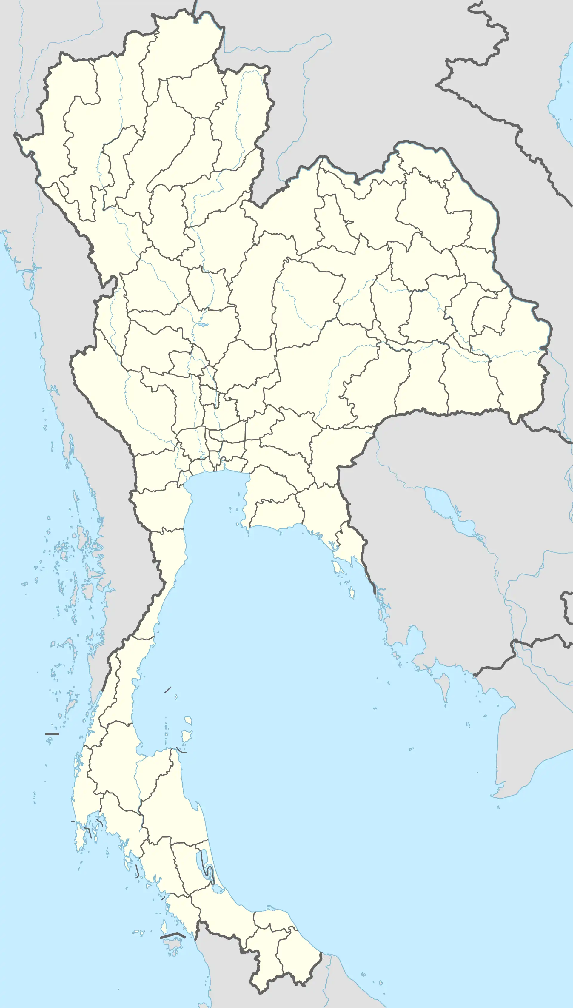 Ayothaya Location in Thailand | |
| Coordinates: 14°21′51″N 100°35′19″E / 14.364091°N 100.588717°E | |
| Country | |
| Region | Central Thailand |
| Province | Phra Nakhon Si Ayutthaya |
| District | Phra Nakhon Si Ayutthaya |
| Government | |
| • Mayor | Narong Danchaiwiroj |
| Area | |
| • Total | 8.4 km2 (3.2 sq mi) |
| Population | |
| • Total | 25,432 |
| • Density | 3,000/km2 (7,800/sq mi) |
| Time zone | UTC+7 (ICT) |
| Area code | (+66) 35 |
| Website | ayothaya |
Ayothaya (Thai: อโยธยา, pronounced [ʔā.jōː.tʰā.jāː]), officially Thetsaban Mueang Ayothaya (Thai: เทศบาลเมืองอโยธยา), is a town in Phra Nakhon Si Ayutthaya district of Phra Nakhon Si Ayutthaya province. It is a town (thetsaban mueang) which covers part of the tambons Phai Ling, Hantra, and Khlong Suan Phlu.[1]
References
- ↑ "Phra Nakhon Si Ayutthaya Province". XploreAsia. Retrieved 2019-03-21.
This article is issued from Wikipedia. The text is licensed under Creative Commons - Attribution - Sharealike. Additional terms may apply for the media files.