Auersbach | |
|---|---|
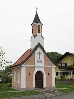 Chapel in Wetzelsdorf (Auersbach) | |
 Coat of arms | |
 Auersbach Location within Austria | |
| Coordinates: 47°01′00″N 15°52′00″E / 47.01667°N 15.86667°E | |
| Country | Austria |
| State | Styria |
| District | Südoststeiermark |
| Government | |
| • Mayor | Helmut Buchgraber (ÖVP) |
| Area | |
| • Total | 12.59 km2 (4.86 sq mi) |
| Elevation | 301 m (988 ft) |
| Population (1 January 2016)[1] | |
| • Total | 880 |
| • Density | 70/km2 (180/sq mi) |
| Time zone | UTC+1 (CET) |
| • Summer (DST) | UTC+2 (CEST) |
| Postal code | 8330, 8332 |
| Area code | +43 3152 |
| Vehicle registration | FB |
| Website | www.auersbach.gv.at |
Auersbach is a former municipality in the district of Südoststeiermark in the Austrian state of Styria. Since the 2015 Styria municipal structural reform, it is part of the municipality Feldbach.[2]
Population
| Year | Pop. | ±% |
|---|---|---|
| 1869 | 760 | — |
| 1880 | 807 | +6.2% |
| 1890 | 881 | +9.2% |
| 1900 | 828 | −6.0% |
| 1910 | 899 | +8.6% |
| 1923 | 841 | −6.5% |
| 1934 | 861 | +2.4% |
| 1939 | 801 | −7.0% |
| 1951 | 825 | +3.0% |
| 1961 | 816 | −1.1% |
| 1971 | 825 | +1.1% |
| 1981 | 835 | +1.2% |
| 1991 | 834 | −0.1% |
| 2001 | 871 | +4.4% |
| 2012 | 867 | −0.5% |
References
This article is issued from Wikipedia. The text is licensed under Creative Commons - Attribution - Sharealike. Additional terms may apply for the media files.