Athipattu | |
|---|---|
Suburb | |
 Athipattu Location in Tamil Nadu, India 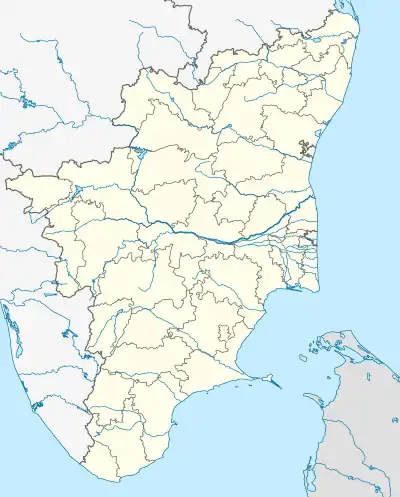 Athipattu Athipattu (Tamil Nadu)  Athipattu Athipattu (India) | |
| Coordinates: 13°15′05.4″N 80°18′23.4″E / 13.251500°N 80.306500°E | |
| Country | |
| State | |
| District | Tiruvallur |
| Metro | Chennai |
| Elevation | 26 m (85 ft) |
| Population (2001) | |
| • Total | 8,382 |
| Languages | |
| • Official | Tamil |
| Time zone | UTC+5:30 (IST) |
| PIN | 600120 |
| Telephone code | 044 |
| Planning agency | CMDA |
| Nearest City | Chennai |
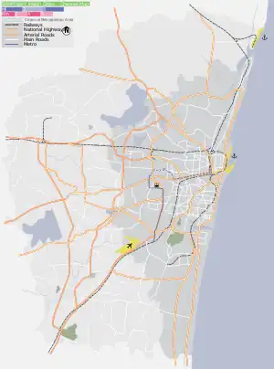
Athipattu is a census town in Chennai in Thiruvallur district in the state of Tamil Nadu, India. The neighbourhood is served by Athipattu railway station of the Chennai Suburban Railway network. it is a suburb in northern part of Chennai.
Demographics
As of 2001 India census,[1] Athipattu had a population of 8,382. Males constitute 50% of the population and females 50%. Athipattu has an average literacy rate of 72%, higher than the national average of 59.5%; with 56% of the males and 44% of females literate. 11% of the population is under 6 years of age.
References
- ↑ "Census of India 2001: Data from the 2001 Census, including cities, villages and towns (Provisional)". Census Commission of India. Archived from the original on 16 June 2004. Retrieved 1 November 2008.
| District headquarters |  | |
|---|---|---|
| Country | ||
| State | ||
| Region | ||
| Revenue divisions | ||
| Taluks | ||
| Revenue blocks | ||
| Municipal corporations | ||
| Municipalities | ||
| Special grade town panchayats | ||
| Town panchayats | ||
| History | ||
| Places of interest |
| |
| Universities |
| |
This article is issued from Wikipedia. The text is licensed under Creative Commons - Attribution - Sharealike. Additional terms may apply for the media files.