Al-Shaykh Badr
الشيخ بدر Sheikh Bader | |
|---|---|
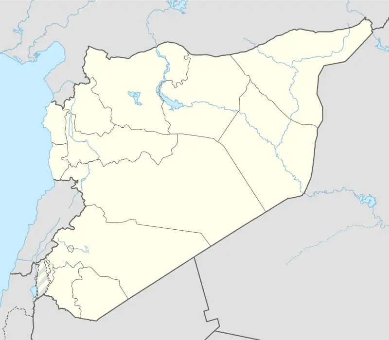 Al-Shaykh Badr Location in Syria | |
| Coordinates: 34°59′N 36°5′E / 34.983°N 36.083°E | |
| Country | |
| Governorate | Tartus Governorate |
| District | al-Shaykh Badr |
| Subdistrict | Al-Shaykh Badr |
| Population (2008 est.) | |
| • Total | 47,982 |
| Time zone | UTC+2 (EET) |
| • Summer (DST) | UTC+3 (EEST) |
Al-Shaykh Badr (Arabic: الشيخ بدر, also spelled Sheikh Bader) is a city in Syria, administratively belonging to Tartus Governorate. Al-Shaykh Badr has an altitude of 536 meters. As of 2008, it had a population of 47,982. Its inhabitants are predominantly Alawites.[1]
The town is named after the shrine of a holy man, Shaykh Badr, located within it, which was venerated by Alawites and other local religious communities.[2]
Climate
The city has hot-summer Mediterranean climate with warm-dry summers and semi cold-rainy winters. The average annual rainfall reaches 1291mm (50.83 in).
| Climate data for Al-Shaykh Badr | |||||||||||||
|---|---|---|---|---|---|---|---|---|---|---|---|---|---|
| Month | Jan | Feb | Mar | Apr | May | Jun | Jul | Aug | Sep | Oct | Nov | Dec | Year |
| Mean daily maximum °C (°F) | 12.0 (53.6) |
13.1 (55.6) |
16.2 (61.2) |
20.9 (69.6) |
24.8 (76.6) |
28.5 (83.3) |
29.8 (85.6) |
30.6 (87.1) |
29.3 (84.7) |
25.6 (78.1) |
20.1 (68.2) |
14.2 (57.6) |
22.1 (71.8) |
| Daily mean °C (°F) | 8.5 (47.3) |
9.5 (49.1) |
12.0 (53.6) |
15.8 (60.4) |
19.4 (66.9) |
23.2 (73.8) |
25.3 (77.5) |
25.9 (78.6) |
23.9 (75.0) |
20.3 (68.5) |
15.5 (59.9) |
10.6 (51.1) |
17.5 (63.5) |
| Mean daily minimum °C (°F) | 5.1 (41.2) |
5.9 (42.6) |
7.9 (46.2) |
10.7 (51.3) |
14.1 (57.4) |
18.0 (64.4) |
20.8 (69.4) |
21.2 (70.2) |
18.5 (65.3) |
15.1 (59.2) |
11.0 (51.8) |
7.1 (44.8) |
13.0 (55.3) |
| Average rainfall mm (inches) | 244 (9.6) |
221 (8.7) |
187 (7.4) |
107 (4.2) |
36 (1.4) |
4 (0.2) |
1 (0.0) |
3 (0.1) |
21 (0.8) |
63 (2.5) |
125 (4.9) |
279 (11.0) |
1,291 (50.8) |
| Source: Climate-data.org | |||||||||||||
References
- ↑ The Middle East Intelligence Handbooks: 1943-1946 (Archive ed.), Naval Intelligence Division of Great Britain, 1987, p. 348, ISBN 9781852070601
- ↑ Douwes 2010, p. 488.
Bibliography
- Douwes, Dick (2010). "Migration, Faith and Community: Extra-Local Linkages in Coastal Syria". In Sluglett, Peter; Weber, Stefan (eds.). Syria and Bilad al-Sham under Ottoman Rule. New York and Leiden: Brill. ISBN 978-90-04-18193-9.


This article is issued from Wikipedia. The text is licensed under Creative Commons - Attribution - Sharealike. Additional terms may apply for the media files.