| Ardour | |
|---|---|
 | |
  | |
| Location | |
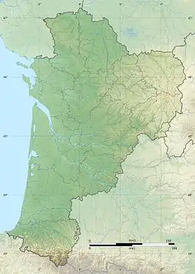
| Country | France |
| Physical characteristics | |
| Source | |
| • location | Limousin |
| Mouth | |
• location | Gartempe |
• coordinates | 46°06′51″N 1°26′03″E / 46.1141°N 1.4343°E |
| Length | 33.5 km (20.8 mi) |
| Basin features | |
| Progression | Gartempe→ Creuse→ Vienne→ Loire→ Atlantic Ocean |
The Ardour is a 33.5 km (20.8 mi) long river flowing in the departments of the Creuse and Haute-Vienne, in the Nouvelle-Aquitaine region of France. The river is a tributary of the Gartempe, and so a sub-tributary of the Loire.[1] It flows into the Gartempe near Bersac-sur-Rivalier.
References
This article is issued from Wikipedia. The text is licensed under Creative Commons - Attribution - Sharealike. Additional terms may apply for the media files.