Ardchronie
| |
|---|---|
 Christmas Day 2008 Dornoch Firth Taken at Ardchronie. | |
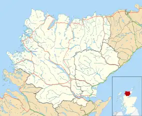 Ardchronie Location within the Sutherland area | |
| OS grid reference | NH6188 |
| Council area | |
| Country | Scotland |
| Sovereign state | United Kingdom |
| Postcode district | IV24 3 |
| Police | Scotland |
| Fire | Scottish |
| Ambulance | Scottish |
| UK Parliament | |
| Scottish Parliament | |
Ardchronie (Scottish Gaelic: Àird Chrònaidh) is a hamlet in the Highland Council area of Scotland.[1] It lies on the south side of the Dornoch Firth, about 2 miles south of Bonar Bridge.[2] Upper Ardchronie is on the hill above Ardchronie.
References
- ↑ Microsoft; Nokia (7 March 2017). "Ardchronie" (Map). Bing Maps. Microsoft. Retrieved 7 March 2017.
- ↑ "Ardchronie". The Gazetteer for Scotland. School of GeoSciences, University of Edinburgh and The Royal Scottish Geographical Society. Retrieved 4 January 2018.
This article is issued from Wikipedia. The text is licensed under Creative Commons - Attribution - Sharealike. Additional terms may apply for the media files.