Arapoema | |
|---|---|
 Flag  Coat of arms | |
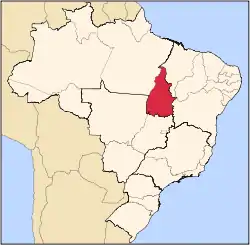
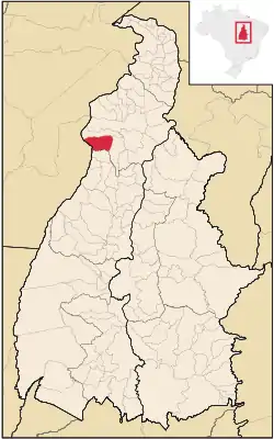 Location in Tocantins state | |
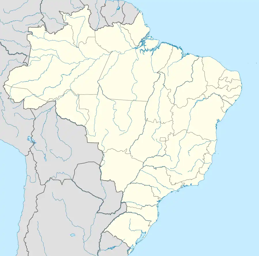 Arapoema Location in Brazil | |
| Coordinates: 7°39′28″S 49°3′50″W / 7.65778°S 49.06389°W | |
| Country | Brazil |
| Region | North |
| State | Tocantins |
| Area | |
| • Total | 1,552 km2 (599 sq mi) |
| Population (2020 [1]) | |
| • Total | 6,616 |
| • Density | 4.3/km2 (11/sq mi) |
| Time zone | UTC−3 (BRT) |
Arapoema is a municipality located in the Brazilian state of Tocantins. Its population is 6,616 (2020) and its area is 1,552 km².[2]
References
- ↑ "IBGE 2020". Retrieved 26 January 2021.
- ↑ IBGE -
This article is issued from Wikipedia. The text is licensed under Creative Commons - Attribution - Sharealike. Additional terms may apply for the media files.