Arandilla | |
|---|---|
Municipality and town | |
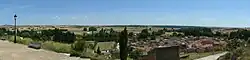 Panoramic view of Arandilla and its valley | |
 Flag  Seal | |
 Arandilla 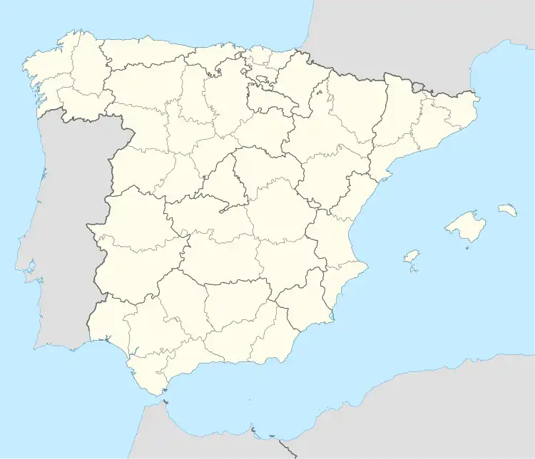 Arandilla | |
| Coordinates: 41°44′13″N 3°25′41″W / 41.737°N 3.428°W | |
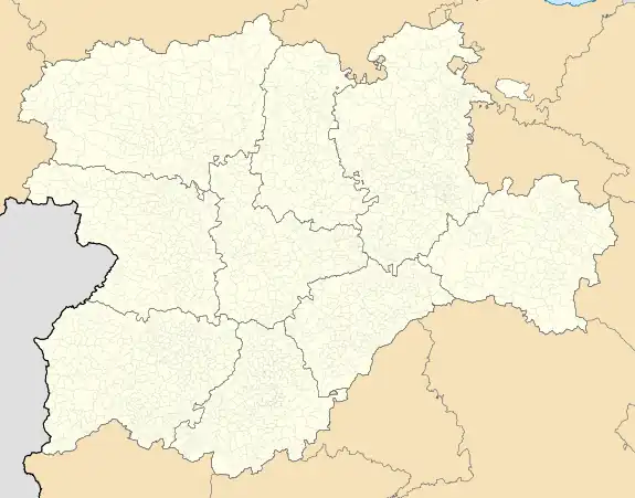
| Country | Spain |
| Autonomous community | |
| Province | |
| Comarca | Ribera del Duero |
| Area | |
| • Total | 27 km2 (10 sq mi) |
| Elevation | 887 m (2,910 ft) |
| Population (2018)[1] | |
| • Total | 161 |
| • Density | 6.0/km2 (15/sq mi) |
| Time zone | UTC+1 (CET) |
| • Summer (DST) | UTC+2 (CEST) |
| Postal code | 09410 |
| Website | http://www.arandilla.es/ |
Arandilla is a municipality and town located in the province of Burgos, Castile and León, Spain. According to the 2004 census (INE), the municipality has a population of 191 inhabitants.
References
- ↑ Municipal Register of Spain 2018. National Statistics Institute.
This article is issued from Wikipedia. The text is licensed under Creative Commons - Attribution - Sharealike. Additional terms may apply for the media files.