Antohabato | |
|---|---|
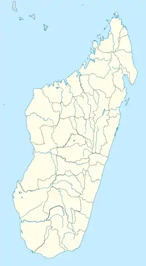 Antohabato Location in Madagascar | |
| Coordinates: 23°33′S 44°27′E / 23.550°S 44.450°E | |
| Country | |
| Region | Atsimo-Andrefana |
| District | Betioky Sud |
| Elevation | 98 m (322 ft) |
| Population (2001)[2] | |
| • Total | 7,000 |
| Time zone | UTC3 (EAT) |
Antohabato is a town and commune (Malagasy: kaominina) in southwest Madagascar. It belongs to the district of Betioky Sud, which is a part of Atsimo-Andrefana Region. The population of the commune was estimated to be approximately 7,000 in 2001 commune census.[2]
Only primary schooling is available. The majority 80% of the population of the commune are farmers, while an additional 15% receives their livelihood from raising livestock. The most important crop is beans, while other important products are onions and rice. Services provide employment for 5% of the population.[2]
References and notes
- ↑ Estimated based on DEM data from Shuttle Radar Topography Mission
- 1 2 3 "ILO census data". Cornell University. 2002. Retrieved 2008-03-12.
Capital: Toliara | ||
| Ampanihy Ouest (19) - 605 | 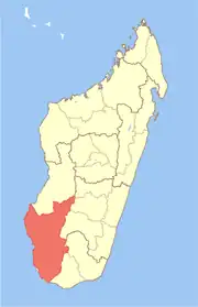 | |
| Ankazoabo - 606 - (10) |
| |
| Benenitra - 610 - (6) |
| |
| Beroroha - 611 - (9) |
| |
| Betioky-Atsimo -612 - (31) |
| |
| Morombe (9) - 618 | ||
| Sakaraha (12) - 620 | ||
| Toliara I (1) | ||
| Toliara II (22) (602) | ||
9 districts; 119 communes | ||
23°33′S 44°27′E / 23.550°S 44.450°E
This article is issued from Wikipedia. The text is licensed under Creative Commons - Attribution - Sharealike. Additional terms may apply for the media files.