Anketrakabe | |
|---|---|
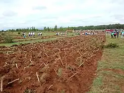 planting trees in Aketrakabe | |
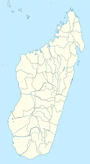 Anketrakabe Location in Madagascar | |
| Coordinates: 12°33′S 49°20′E / 12.550°S 49.333°E | |
| Country | |
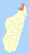
| Region | Diana |
| District | Antsiranana II |
| Elevation | 308 m (1,010 ft) |
| Population (2001)[2] | |
| • Total | 2,933 |
| Time zone | UTC3 (EAT) |
Anketrakabe is a town and commune (Malagasy: kaominina) in Madagascar. It belongs to the district of Antsiranana II, which is a part of Diana Region. According to 2001 commune census the population of Anketrakabe was 2,933.[2]
Only primary schooling is available in town. The majority 60% of the population are farmers, while an additional 40% receives their livelihood from raising livestock. The most important crop is maize, while other important products are peanuts and rice.[2]
References and notes
- ↑ Estimated based on DEM data from Shuttle Radar Topography Mission
- 1 2 3 "ILO census data". Cornell University. 2002. Retrieved 2008-02-13.
| Ambanja (24) - 203 |
|  |
|---|---|---|
| Ambilobe (15) - 204 | ||
| Antsiranana (Diego Suarez) (1) - 201 | ||
| Antsiranana II (22) - 202 |
| |
| Nosy Be (5) - 207 |
| |
5 districts; 51 communes | ||
Wikimedia Commons has media related to Anketrakabe.
12°33′S 49°20′E / 12.550°S 49.333°E
This article is issued from Wikipedia. The text is licensed under Creative Commons - Attribution - Sharealike. Additional terms may apply for the media files.