Andrezé | |
|---|---|
Part of Beaupréau-en-Mauges | |
Location of Andrezé | |
 Andrezé 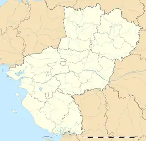 Andrezé | |
| Coordinates: 47°10′19″N 0°57′08″W / 47.1719°N 0.9522°W | |
| Country | France |
| Region | Pays de la Loire |
| Department | Maine-et-Loire |
| Arrondissement | Cholet |
| Canton | Beaupréau |
| Commune | Beaupréau-en-Mauges |
| Area 1 | 21.29 km2 (8.22 sq mi) |
| Population (2019)[1] | 1,911 |
| • Density | 90/km2 (230/sq mi) |
| Time zone | UTC+01:00 (CET) |
| • Summer (DST) | UTC+02:00 (CEST) |
| Postal code | 49600 |
| Elevation | 52–117 m (171–384 ft) (avg. 157 m or 515 ft) |
| 1 French Land Register data, which excludes lakes, ponds, glaciers > 1 km2 (0.386 sq mi or 247 acres) and river estuaries. | |
Andrezé (French pronunciation: [ɑ̃dʁəze] ⓘ) is a former commune in the Maine-et-Loire department in western France.
On 15 December 2015, Andrezé, Beaupréau, La Chapelle-du-Genêt, Gesté, Jallais, La Jubaudière, Le Pin-en-Mauges, La Poitevinière, Saint-Philbert-en-Mauges and Villedieu-la-Blouère merged becoming one commune called Beaupréau-en-Mauges.
Population
|
|
See also
References
Wikimedia Commons has media related to Andrezé.
This article is issued from Wikipedia. The text is licensed under Creative Commons - Attribution - Sharealike. Additional terms may apply for the media files.