Ancteville | |
|---|---|
Part of Saint-Sauveur-Villages | |
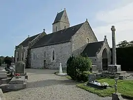 Saint-Pierre church | |
Location of Ancteville | |
 Ancteville 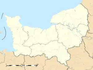 Ancteville | |
| Coordinates: 49°06′11″N 1°28′44″W / 49.10306°N 1.47889°W | |
| Country | France |
| Region | Normandy |
| Department | Manche |
| Arrondissement | Coutances |
| Canton | Coutances |
| Commune | Saint-Sauveur-Villages |
| Area 1 | 7.74 km2 (2.99 sq mi) |
| Population (2019)[1] | 212 |
| • Density | 27/km2 (71/sq mi) |
| Time zone | UTC+01:00 (CET) |
| • Summer (DST) | UTC+02:00 (CEST) |
| Postal code | 50200 |
| Elevation | 44–128 m (144–420 ft) (avg. 80 m or 260 ft) |
| 1 French Land Register data, which excludes lakes, ponds, glaciers > 1 km2 (0.386 sq mi or 247 acres) and river estuaries. | |
Ancteville (French pronunciation: [ɑ̃ktəvil]) is a former commune in the Manche department in the Normandy region in northwestern France. On 1 January 2019, it was merged into the new commune Saint-Sauveur-Villages.[2]
Population
|
|
See also
References
- ↑ Téléchargement du fichier d'ensemble des populations légales en 2019, INSEE
- ↑ Arrêté préfectoral 26 December 2018 (in French)
External links
 Media related to Ancteville at Wikimedia Commons
This article is issued from Wikipedia. The text is licensed under Creative Commons - Attribution - Sharealike. Additional terms may apply for the media files.