Aljubarrota | |
|---|---|
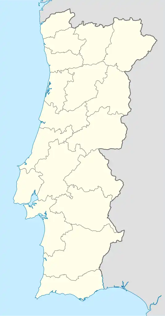 Aljubarrota Location in Portugal | |
| Coordinates: 39°33′58″N 8°55′48″W / 39.566°N 8.930°W | |
| Country | |
| Region | Centro |
| Intermunic. comm. | Oeste |
| District | Leiria |
| Municipality | Alcobaça |
| Area | |
| • Total | 47.94 km2 (18.51 sq mi) |
| Population (2011) | |
| • Total | 6,639 |
| • Density | 140/km2 (360/sq mi) |
| Time zone | UTC±00:00 (WET) |
| • Summer (DST) | UTC+01:00 (WEST) |
Aljubarrota is a freguesia ("civil parish") in the municipality of Alcobaça, Portugal. It was formed in 2013 by the merger of the parishes of Prazeres and São Vicente.[1] Its population in 2011 was 6,639[2] in an area of 47.94 km².[3] In 1385 the Battle of Aljubarrota took place near the village.
Villages
- Aljubarrota
- Ataíja de Baixo
- Ataíja de Cima
- Boavista
- Cadoiço
- Carrascal
- Carvalhal
- Casais de Santa Teresa
- Casal da Eva
- Casal do Rei
- Chãos
- Chiqueda
- Covões
- Cumeira de Baixo
- Fonte do Ouro
- Ganilhos
- Lagoa do Cão
- Lameira
- Longras
- Mogo e Quinta do Mogo
- Moleanos
- Olheiros e Quinta de S. Paio
- Ponte de Jardim
- Quinta da Cruz
- Quinta Nova
- Riba Fria
- Val Vazão
See also
References
- ↑ "Law nr. 11-A/2013, page 552 7" (pdf). Diário da República (in Portuguese). Retrieved 16 July 2014.
- ↑ Instituto Nacional de Estatística (INE), Census 2011 results according to the 2013 administrative division of Portugal
- ↑ "Áreas das freguesias, concelhos, distritos e país". Archived from the original on 2018-11-05. Retrieved 2018-11-05.
This article is issued from Wikipedia. The text is licensed under Creative Commons - Attribution - Sharealike. Additional terms may apply for the media files.