Akuluto | |
|---|---|
Town | |
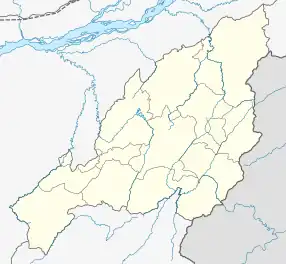 Akuluto Location of Akuluto in North-East India | |
| Coordinates: 26°00′33″N 94°31′26″E / 26.0092901°N 94.5237637°E | |
| Country | |
| State | Nagaland |
| District | Zünheboto District |
| Government | |
| • Type | Town |
| Area | |
| • Total | 12 km2 (5 sq mi) |
| • Rank | 44th in Nagaland |
| Elevation | 1,252 m (4,108 ft) |
| Population (2011)[1] | |
| • Total | 11,567 |
| • Rank | 40th in Nagaland & 651 in India |
| • Density | 79/km2 (200/sq mi) |
| Languages | |
| • Official | English and Sümi |
| Time zone | UTC+5:30 (IST) |
| Vehicle registration | NL-06 |
| Website | http://zunheboto.nic.in |
Akuluto is a town and Subdivision in the Zünheboto District of Nagaland, India. There are a total of 10 villages under Akuluto Subdivision. According to 2011 census of India, there are a total of 6,612 people living in this Subdivision, of which 3,408 are male and 3,204 are female. As per the 2021 Aadhaar estimates, the subdivision has a population 8,199.
Villages under Akuluto Subdivision
Akuluto Subdivision has a total of 10 villages.
- Sumi Settsu
- Zaphumi
- Lumami
- Alaphumi
- Lumthsami
- Akuluto
- Sutemi
- Shichimi
- Lotisami (New)
- Lotisami (Old)
Climate
Average climatic Temperature in Akuluto is 25.7°C.[2]
Demographics
As of 2011 India census,[3] Akuluto had a population of 11,567. Males constitute 51% of the population and females 49%. Akuluto has an average literacy rate of 81%, higher than the national average of 76%: male literacy is 81%, and female literacy is 77%.
References
- ↑ "Census of India: Search Details".
- ↑ http://www.accuweather.com/Akuluto%5B%5D
- ↑ "Census of India 2011: Data from the 2011 Census, including cities, villages and towns (Provisional)". Census Commission of India. Archived from the original on 16 June 2004. Retrieved 1 November 2011.
This article is issued from Wikipedia. The text is licensed under Creative Commons - Attribution - Sharealike. Additional terms may apply for the media files.