| Ajay River | |
|---|---|
.jpg.webp) | |
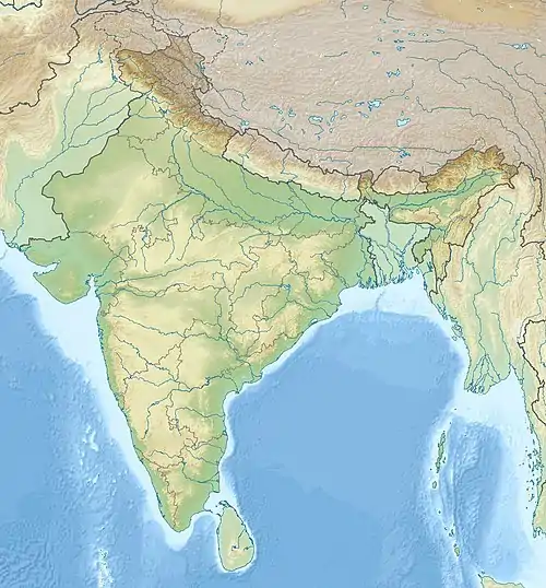 Location of mouth | |
| Etymology | Sanskrit: Unconquerable |
| Location | |
| Country | India |
| State | Bihar, Jharkhand, West Bengal |
| Cities | Deoghar, Jamtara, Chittaranjan, Pandabeswar, Illambazar, Bhedia, Bolpur, Katwa |
| Physical characteristics | |
| Source | |
| • location | Jamui, Bihar |
| • coordinates | 24°50′58″N 86°32′14″E / 24.84944°N 86.53722°E |
| • elevation | 400 metres (1,300 ft) |
| Mouth | Katwa |
• location | Katwa, West Bengal |
• coordinates | 24°06′07″N 88°13′17″E / 24.10194°N 88.22139°E |
• elevation | 21 metres (69 ft) |
| Length | 300 km (190 mi) |
| Discharge | |
| • location | Bhagirathi River |
| Basin features | |
| Tributaries | |
| • right | Pathro and Jayanti in Jharkhand, Tumuni and Kunur in Bardhaman district of West Bengal |
The Ajay (/ˈədʒɑɪ/) is a river which flows through the Indian states of Bihar, Jharkhand and West Bengal. The catchment area of Ajay River is 6,000 square kilometres (2,300 sq mi).[1]
See also
References
- ↑ Roy, Jitendra. "The Deluge 2000" (PDF). Archived (PDF) from the original on 10 April 2009. Retrieved 2009-04-11.
Bibliography
23°39′N 88°08′E / 23.650°N 88.133°E
This article is issued from Wikipedia. The text is licensed under Creative Commons - Attribution - Sharealike. Additional terms may apply for the media files.